Transport Functions
Port
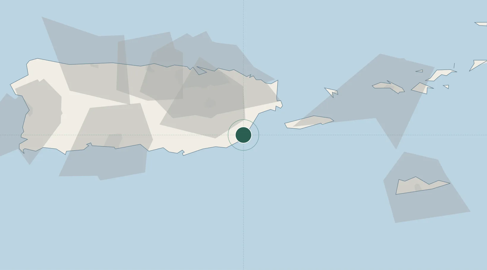
Location
Nearby Logistics Neighbours
Cities
- 1Las Pinas24 km
- 2Arroyo26 km
- 3Río Grande35 km
- 4Trujillo Bajo, Carolina37 km
- 5Puerto de Jobos39 km
Ports
- 1Playa De Humacao16 km
- 2Arroyo26 km
- 3Las Mareas37 km
- 4Bahia De Fajardo38 km
- 5Bahia De Jobos39 km
Airports
Trade Zones
- 1FTZ No. 061 San Juan49 km
- 2FTZ No. 163 Ponce76 km
- 3FTZ No. 007 Mayaguez142 km
- 4Punta Cana Airport274 km
- 5Zona Franca Industrial Higuey310 km
DatabookThe Record of Consolidated Knowledge
Puerto Rico beyond logistics?