Transport Functions
Road
Multimodal
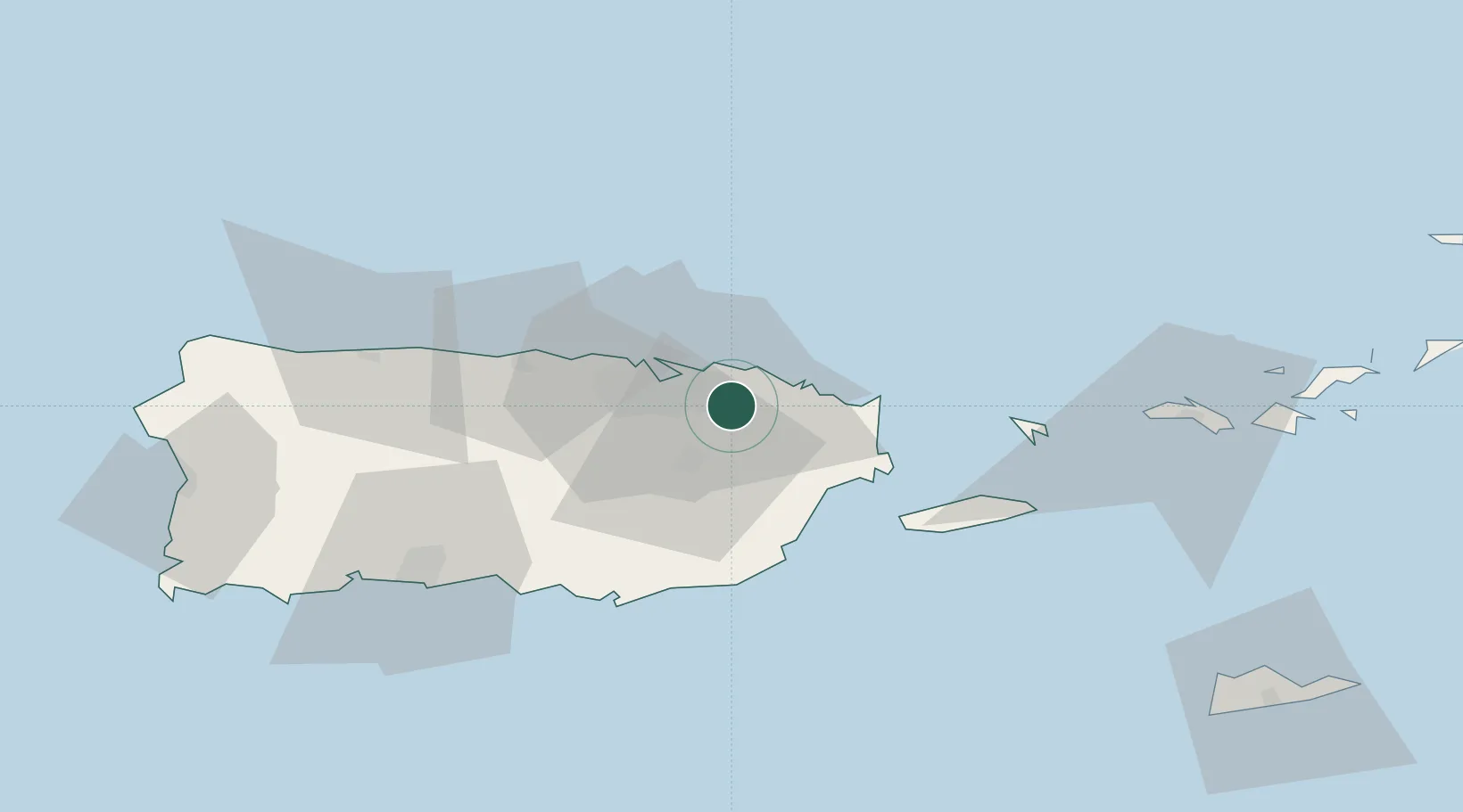
Location
Nearby Logistics Neighbours
Cities
- 1Las Pinas13 km
- 2Río Grande14 km
- 3San Juan17 km
- 4Ponce18 km
- 5Puerto Yabucoa37 km
Ports
- 1San Juan21 km
- 2Playa De Humacao31 km
- 3Bahia De Fajardo34 km
- 4Puerto Yabucoa37 km
- 5Arroyo46 km
Airports
Trade Zones
- 1FTZ No. 061 San Juan19 km
- 2FTZ No. 163 Ponce75 km
- 3FTZ No. 007 Mayaguez129 km
- 4Punta Cana Airport256 km
- 5Zona Franca Industrial Higuey292 km
DatabookThe Record of Consolidated Knowledge
Puerto Rico beyond logistics?