Channel & Berth Profile
Pilotage, Tugs & Services
Pilotage compulsoryYES
Pilotage advisableYES
Local assistanceYES
Potable waterYES
MedicalYES
Facilities & Capabilities
Container—
Ro-Ro—
Liquid bulk—
Dry bulk—
Oil terminal—
Break bulk—
Dry dock—
RepairsNO
BunkeringYES
Rail link—
Dangerous cargo—
ISPS security—
Harbour Specifications
Harbour size
Small
Harbour type
Open Roadstead
Shelter
Poor
Water body
Caribbean Sea; North Atlantic Ocean
Tidal range
0.3 m
Pilotage
Yes
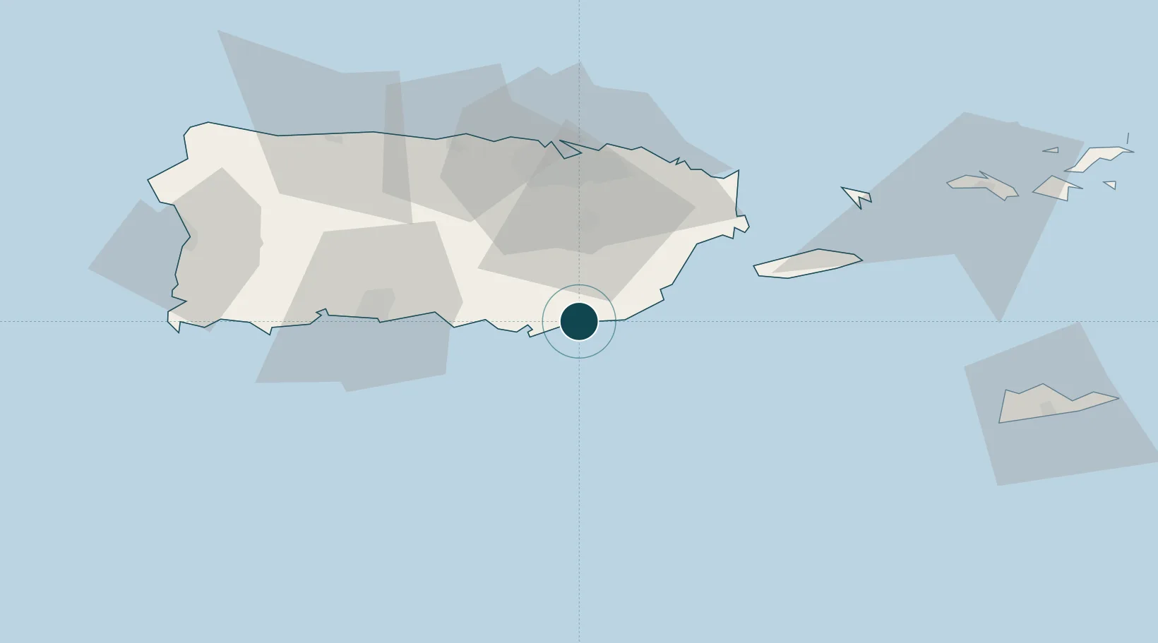
Location
Nearby Logistics Neighbours
Ports
- 1Las Mareas11 km
- 2Bahia De Jobos13 km
- 3Puerto Yabucoa26 km
- 4Playa De Humacao40 km
- 5San Juan56 km
Cities
- 1Puerto de Jobos13 km
- 2Salinas19 km
- 3Puerto Yabucoa26 km
- 4Las Pinas35 km
- 5Trujillo Bajo, Carolina46 km
Airports
Trade Zones
- 1FTZ No. 061 San Juan48 km
- 2FTZ No. 163 Ponce51 km
- 3FTZ No. 007 Mayaguez119 km
- 4Punta Cana Airport252 km
- 5Zona Franca Industrial Higuey288 km
DatabookThe Record of Consolidated Knowledge
Puerto Rico beyond logistics?