Channel & Berth Profile
Pilotage, Tugs & Services
Pilotage compulsoryYES
Pilotage availableYES
Potable waterYES
MedicalYES
Facilities & Capabilities
Container—
Ro-Ro—
Liquid bulk—
Dry bulk—
Oil terminal—
Break bulk—
Dry dock—
RepairsNO
Bunkering—
Rail link—
Dangerous cargo—
ISPS security—
Harbour Specifications
Harbour size
Very Small
Harbour type
Coastal (Breakwater)
Shelter
Fair
Water body
Caribbean Sea; North Atlantic Ocean
Tidal range
0.3 m
Pilotage
Yes
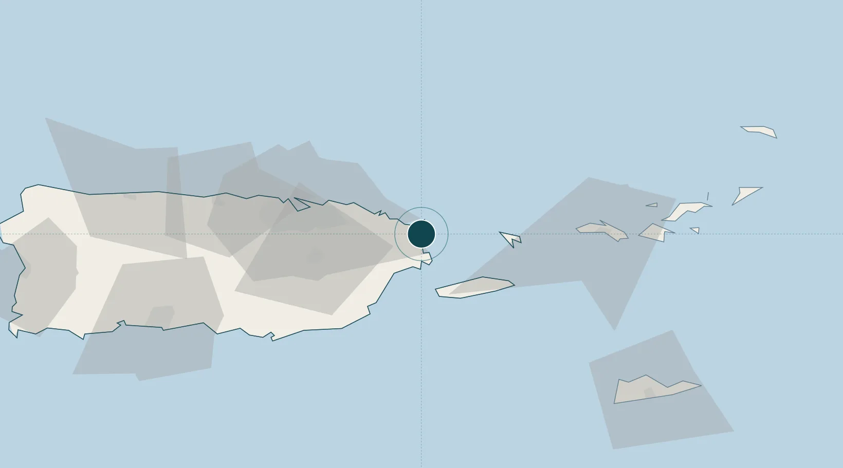
Location
Nearby Logistics Neighbours
Ports
- 1Playa De Humacao22 km
- 2Puerto Yabucoa38 km
- 3San Juan53 km
- 4Arroyo61 km
- 5Las Mareas71 km
Cities
- 1Río Grande20 km
- 2Las Pinas31 km
- 3Trujillo Bajo, Carolina34 km
- 4Puerto Yabucoa38 km
- 5San Juan50 km
Airports
Trade Zones
- 1FTZ No. 061 San Juan53 km
- 2FTZ No. 163 Ponce104 km
- 3FTZ No. 007 Mayaguez162 km
- 4Punta Cana Airport289 km
- 5Zona Franca Industrial Higuey326 km
DatabookThe Record of Consolidated Knowledge
Puerto Rico beyond logistics?