Medium airport · Puerto Rico

José Aponte de la Torre AirportTJRV
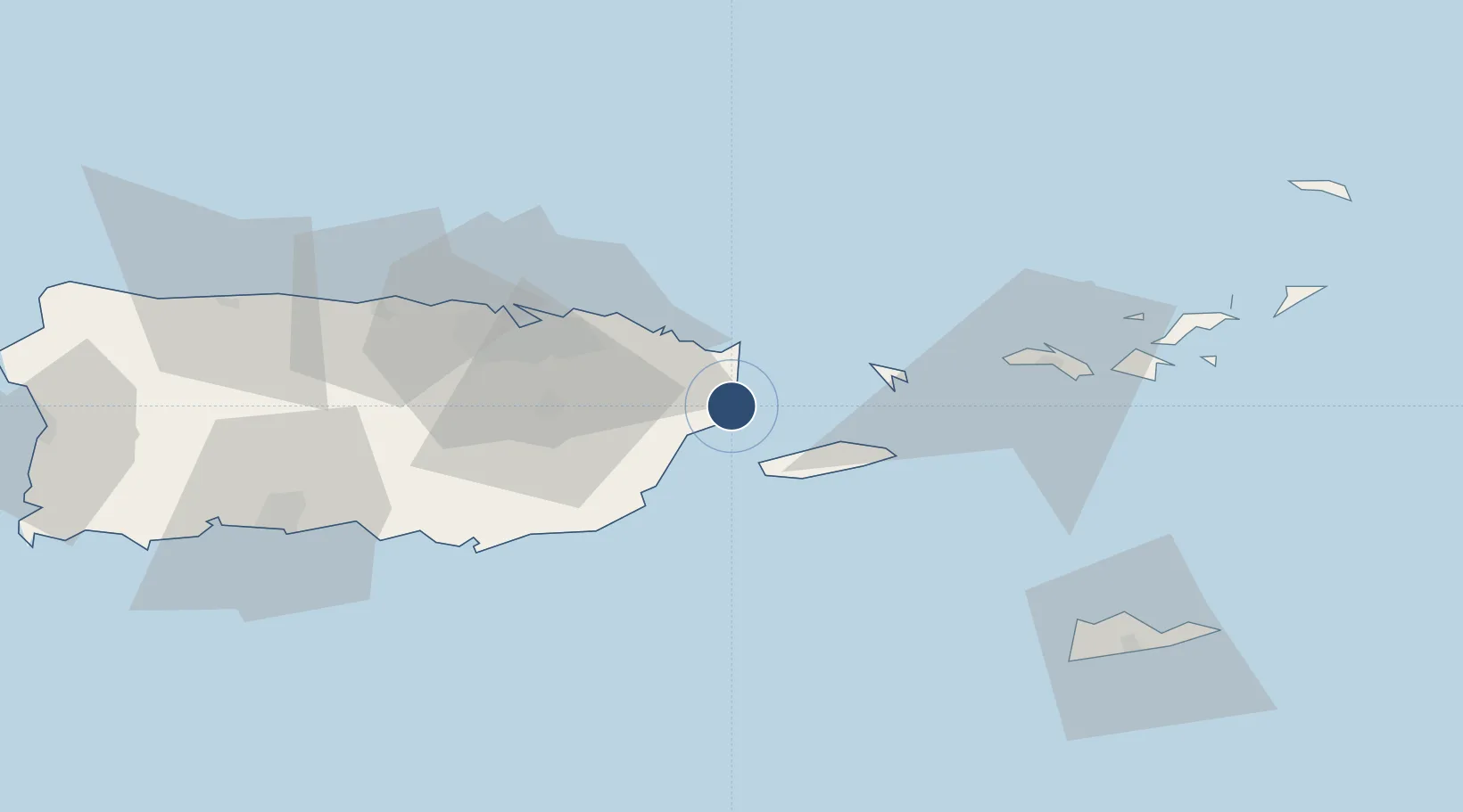
18.2473°, -65.6398°
11,000 ft
Longest runway
1
Runways
38 ft
Elevation

Runway & Layout

Runways · 1

RunwayDimensions SurfaceTrue headingLit
7/25 11,000 × 150ft Asphalt / concrete
OurAirports

Airport Specifications

IATA code
NRR
OurAirports
ICAO code
TJRV
OurAirports
Airport class
Medium airport
OurAirports
Scheduled service
Yes
OurAirports
Runway surface
Asphalt / concrete
OurAirports
Served city
Ceiba
OurAirports

Location

Location of TJRV
Natural Earth 10m (public domain) · Puerto Rico · TJRV · 18.25, -65.64GoogleOSMYandex

Nearby Logistics Neighbours

Airports
  1. 1Antonio Rivera Rodriguez Airport20 km
  2. 2Benjamin Rivera Noriega Airport36 km
  3. 3Luis Munoz Marin International Airport44 km
  4. 4Fernando Luis Ribas Dominicci Airport54 km
  5. 5San Juan Seaplane Base56 km
Nearest neighbours — logibook spatial index (haversine) over the source coordinates
Cities
  1. 1Río Grande23 km
  2. 2Las Pinas29 km
  3. 3Puerto Yabucoa30 km
  4. 4Trujillo Bajo, Carolina35 km
  5. 5San Juan53 km
Nearest neighbours — logibook spatial index (haversine) over the source coordinates
Ports
  1. 1Bahia De Fajardo10 km
  2. 2Playa De Humacao15 km
  3. 3Puerto Yabucoa30 km
  4. 4Arroyo55 km
  5. 5San Juan56 km
Nearest neighbours — logibook spatial index (haversine) over the source coordinates
Trade Zones
  1. 1FTZ No. 061 San Juan54 km
  2. 2FTZ No. 163 Ponce100 km
  3. 3FTZ No. 007 Mayaguez161 km
  4. 4Punta Cana Airport290 km
  5. 5Zona Franca Industrial Higuey326 km
Nearest neighbours — logibook spatial index (haversine) over the source coordinates
DatabookThe Record of Consolidated Knowledge
Puerto Rico beyond logistics?
Browse databook

All Sources

AirportsOurAirports
Public domain
Portsthe NGA World Port Index
Public domain (US gov)
LocationsUN/LOCODE
UN/LOCODE — free
Trade Zonesthe World Bank SEZ database
CC BY 4.0
Trade ZonesOpen Zone Map
CC BY
← Puerto Rico airports