Large airport · Puerto Rico
Luis Munoz Marin International AirportTJSJ
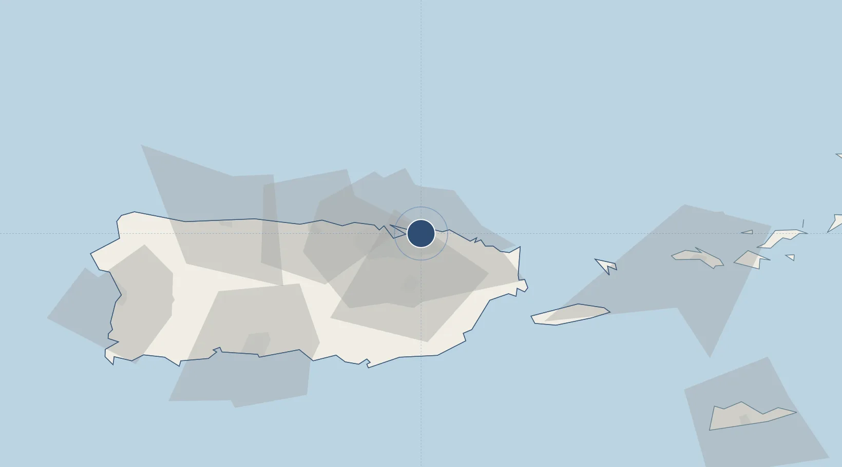
18.4394°, -66.0018°
10,002 ft
Longest runway
2
Runways
9 ft
Elevation
Runway & Layout

Radio Frequencies
ATIS
125.8 MHz
TWR
132.05 MHz
SAN JUAN TWR
GND
121.9 MHz
CLD
126.4 MHz
SAN JUAN CLNC DEL
APP
119.4 MHz
SAN JUAN APP
OPS
25.28 MHz
CORONET OAK OPS
POST
139.9 MHz
PRANG COMD POST
RDO
122.2 MHz
SAN JUAN RDO
UNIC
123 MHz
UNICOM
Navaids
SJ NDB Patty 330 kHz
SJU VORTAC San Juan 114.00 MHz
Runways · 2
| Runway | Dimensions | Surface | True heading | Lit |
|---|---|---|---|---|
| 08/26 | 10,002 × 200ft | Asphalt | 067° | ✓ |
| 10/28 | 8,016 × 150ft | Concrete | 090° | ✓ |
Airport Specifications
IATA code
SJU
ICAO code
TJSJ
Airport class
Large airport
Scheduled service
Yes
Runway surface
Asphalt
Served city
San Juan
Location
Nearby Logistics Neighbours
Airports
Cities
- 1Trujillo Bajo, Carolina10 km
- 2San Juan10 km
- 3Ponce11 km
- 4Río Grande21 km
- 5Las Pinas23 km
Ports
- 1San Juan13 km
- 2Playa De Humacao40 km
- 3Bahia De Fajardo41 km
- 4Puerto Yabucoa47 km
- 5Arroyo53 km
Trade Zones
- 1FTZ No. 061 San Juan15 km
- 2FTZ No. 163 Ponce75 km
- 3FTZ No. 007 Mayaguez126 km
- 4Punta Cana Airport250 km
- 5Zona Franca Industrial Higuey286 km
DatabookThe Record of Consolidated Knowledge
Puerto Rico beyond logistics?