UN/LOCODE hub · Puerto Rico
PRRGD
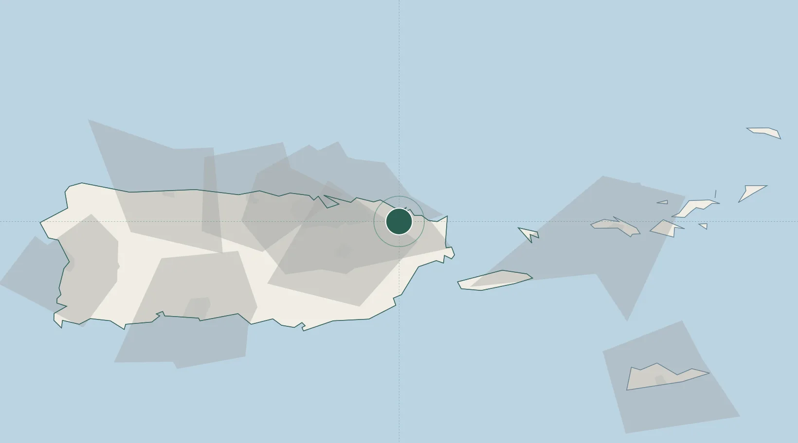
Río Grande
18.3667°, -65.8167°
13,467
Population
2
Transport functions
Transport Functions
Road
Multimodal
Hub Profile
Place type
Regional capital
Region
Río Grande
Population
13,467
Time zone
America/Puerto_Rico
Elevation
13 m
Location
Nearby Logistics Neighbours
Cities
- 1Trujillo Bajo, Carolina14 km
- 2Las Pinas17 km
- 3San Juan31 km
- 4Ponce31 km
- 5Puerto Yabucoa35 km
Ports
- 1Bahia De Fajardo20 km
- 2Playa De Humacao23 km
- 3San Juan34 km
- 4Puerto Yabucoa35 km
- 5Arroyo52 km
Airports
Trade Zones
- 1FTZ No. 061 San Juan33 km
- 2FTZ No. 163 Ponce87 km
- 3FTZ No. 007 Mayaguez143 km
- 4Punta Cana Airport270 km
- 5Zona Franca Industrial Higuey306 km
DatabookThe Record of Consolidated Knowledge
Puerto Rico beyond logistics?