Medium airport · Puerto Rico

Rafael Hernández International AirportTJBQ
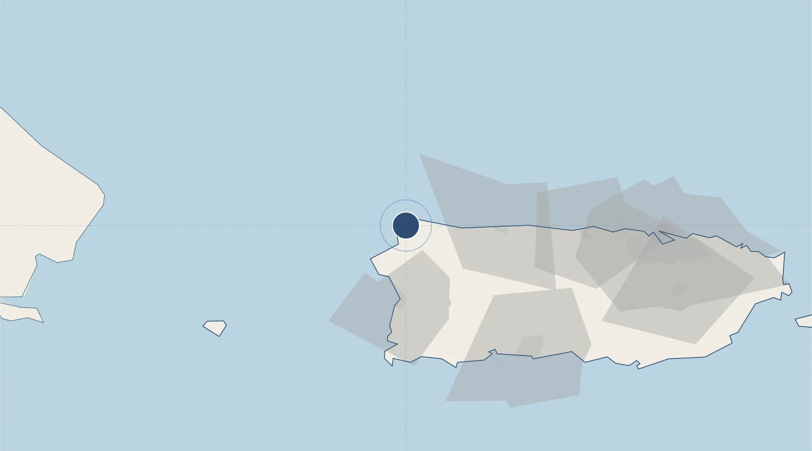
18.4949°, -67.1294°
11,702 ft
Longest runway
1
Runways
237 ft
Elevation

Runway & Layout

Rafael Hernández International Airport runway & taxiway layout
Runway & taxiway layout — OpenStreetMap (ODbL) / OurAirports

Radio Frequencies

A/D
135.7 MHz
SAN JUAN CNTR
MISC
34.5 MHz
AIR CG
RDO
113.5 MHz
SAN JUAN RDO
UNIC
123 MHz
CTAF/UNICOM
OurAirports

Navaids

BQN VORTAC Borinquen 113.50 MHz
OurAirports

Runways · 1

RunwayDimensions SurfaceTrue headingLit
08/26 11,702 × 200ft Asphalt 072°
OurAirports

Airport Specifications

IATA code
BQN
OurAirports
ICAO code
TJBQ
OurAirports
Airport class
Medium airport
OurAirports
Scheduled service
Yes
OurAirports
Runway surface
Asphalt
OurAirports
Served city
Aguadilla
OurAirports

Location

Location of TJBQ
Natural Earth 10m (public domain) · Puerto Rico · TJBQ · 18.49, -67.13GoogleOSMYandex

Nearby Logistics Neighbours

Airports
  1. 1Eugenio Maria De Hostos Airport27 km
  2. 2Antonio Nery Juarbe Pol Airport48 km
  3. 3Mercedita International Airport81 km
  4. 4San Juan Seaplane Base106 km
  5. 5Fernando Luis Ribas Dominicci Airport109 km
Nearest neighbours — logibook spatial index (haversine) over the source coordinates
Cities
  1. 1San Sebastián28 km
  2. 2Cabo Rojo46 km
  3. 3Guanica63 km
  4. 4Guayanilla67 km
  5. 5Ponce109 km
Nearest neighbours — logibook spatial index (haversine) over the source coordinates
Ports
  1. 1Aguadilla7 km
  2. 2Mayaguez33 km
  3. 3Arecibo45 km
  4. 4Playa De Guanica63 km
  5. 5Playa De Guayanilla66 km
Nearest neighbours — logibook spatial index (haversine) over the source coordinates
Trade Zones
  1. 1FTZ No. 007 Mayaguez33 km
  2. 2FTZ No. 163 Ponce82 km
  3. 3FTZ No. 061 San Juan106 km
  4. 4Punta Cana Airport131 km
  5. 5Zona Franca Industrial Higuey167 km
Nearest neighbours — logibook spatial index (haversine) over the source coordinates
DatabookThe Record of Consolidated Knowledge
Puerto Rico beyond logistics?
Browse databook

All Sources

AirportsOurAirports
Public domain
Portsthe NGA World Port Index
Public domain (US gov)
LocationsUN/LOCODE
UN/LOCODE — free
Trade Zonesthe World Bank SEZ database
CC BY 4.0
Trade ZonesOpen Zone Map
CC BY
← Puerto Rico airports