UN/LOCODE hub · Puerto Rico
PRCBJ
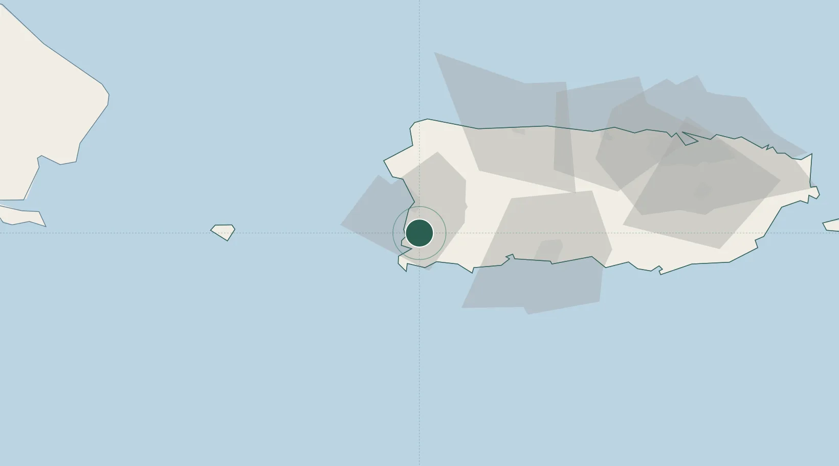
Cabo Rojo
18.0833°, -67.1333°
10,839
Population
2
Transport functions
Transport Functions
Rail
Road
Hub Profile
Place type
Regional capital
Region
Cabo Rojo
Population
10,839
Time zone
America/Puerto_Rico
Elevation
20 m
Location
Nearby Logistics Neighbours
Cities
- 1Guanica26 km
- 2San Sebastián30 km
- 3Guayanilla36 km
- 4Salinas94 km
- 5Puerto de Jobos102 km
Ports
- 1Mayaguez13 km
- 2Playa De Guanica26 km
- 3Aguadilla39 km
- 4Playa De Guayanilla40 km
- 5Playa De Ponce56 km
Airports
Trade Zones
- 1FTZ No. 007 Mayaguez14 km
- 2FTZ No. 163 Ponce62 km
- 3FTZ No. 061 San Juan111 km
- 4Punta Cana Airport141 km
- 5Zona Franca Industrial Higuey176 km
DatabookThe Record of Consolidated Knowledge
Puerto Rico beyond logistics?