Seaport · Philippines
Polloc (Cotabato)PHPLC
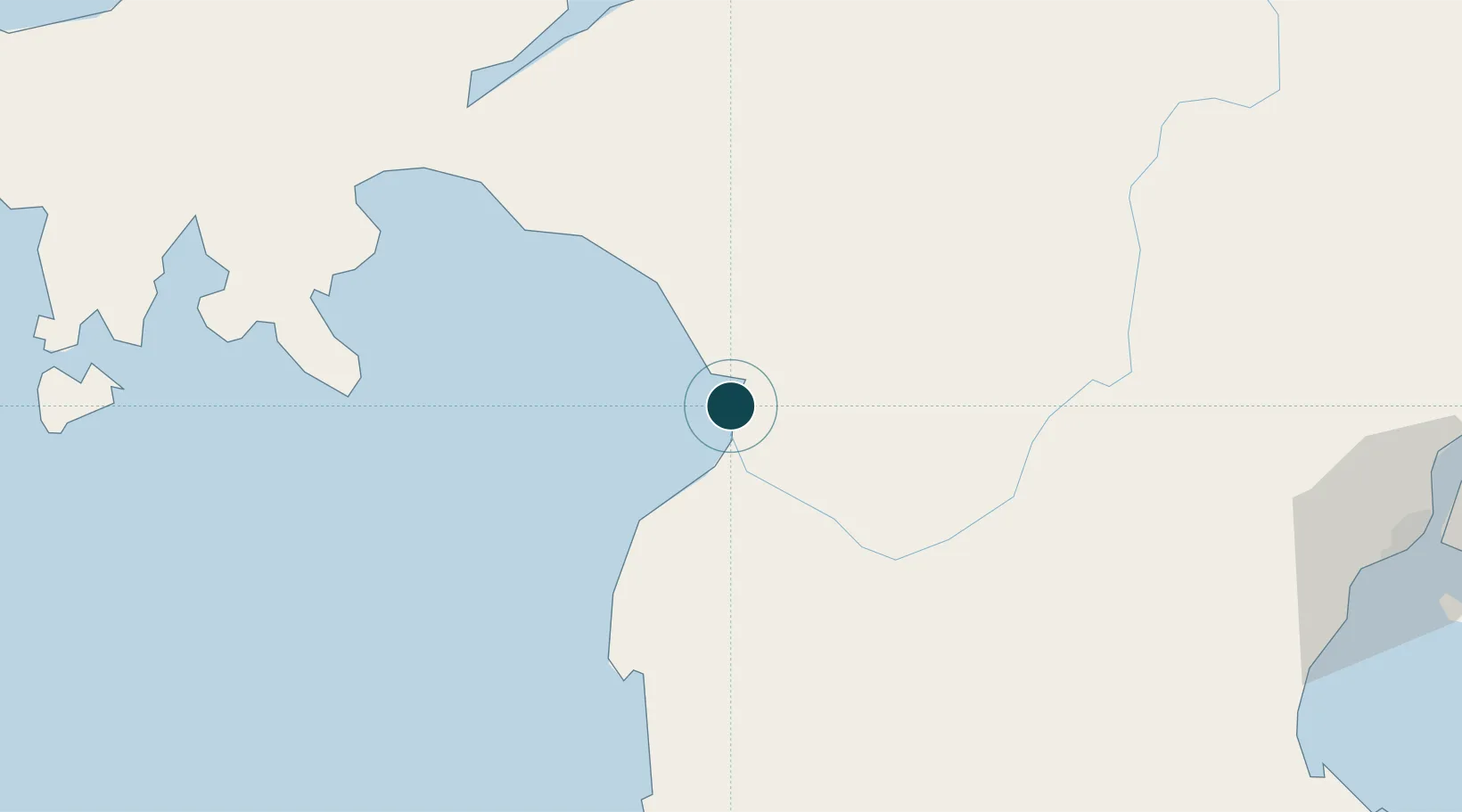
7.3500°, 124.2167°
23.2 m
Channel depth
9.3
Port liner connectivity
Channel & Berth Profile
Pilotage, Tugs & Services
Pilotage compulsoryYES
Pilotage availableYES
Tug assistanceNO
Salvage tugsNO
Potable waterNO
Diesel bunkersNO
MedicalYES
Garbage disposalYES
Facilities & Capabilities
Container—
Ro-Ro—
Liquid bulk—
Dry bulk—
Oil terminal—
Break bulk—
Dry dock—
Repairs—
BunkeringNO
Rail link—
Dangerous cargo—
ISPS security—
Harbour Specifications
Harbour size
Very Small
Harbour type
Open Roadstead
Shelter
Fair
Water body
Celebes Sea; North Pacific Ocean
Tidal range
5 m
Pilotage
Yes
Liner Connectivity
9.3
PLSCI
Port Liner Shipping Connectivity Index for Polloc (Cotabato), as published by UNCTAD for the latest available quarter. Higher values indicate stronger scheduled liner-shipping integration.
Shown relative to the highest per-port PLSCI in the dataset (1,657.9).
Location
Nearby Logistics Neighbours
Ports
- 1Port Ozamis96 km
- 2Iligan98 km
- 3Pagadian102 km
- 4Jimenez116 km
- 5Cagayan De Oro137 km
Cities
- 1Kalamansig91 km
- 2Lugait109 km
- 3Oroquieta134 km
- 4Opol135 km
- 5Cagayan de Oro, Mindanao140 km
Airports
- 1Cotabato (Awang) Airport21 km
- 2Central Mindanao Airport92 km
- 3Pagadian Airport99 km
- 4Labo Airport101 km
- 5Allah Valley Airport124 km
Trade Zones
DatabookThe Record of Consolidated Knowledge
Philippines beyond logistics?