Export Processing Zone · Philippines

Balo-I Agro-Industrial Economic Zone Active
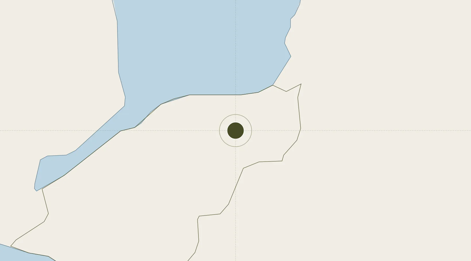
8.1058°, 124.1446°
13 ha
Zone area
17.2 km
Nearest port
34.3 km
Nearest airport

Gateway access

Nearest neighbours — logibook spatial index (haversine) over the source coordinates

Zone profile

Zone type
Export Processing Zone
Open Zone Map
Region
Lanao del Norte
Open Zone Map
Status
Active
Open Zone Map
Management
Private
Open Zone Map
Operator
Balo-i Industrial, Inc.
Open Zone Map
Legal framework
Special Economic Zone Act (Republic Act No. 7916) (as amended by Republic Act No. 8748)
Open Zone Map

Location

Location of ozm-3240
Natural Earth 10m (public domain) · Lanao del Norte · ozm-3240 · 8.11, 124.14GoogleOSMYandex

Nearby Logistics Neighbours

Ports
  1. 1Iligan17 km
  2. 2Port Ozamis33 km
  3. 3Jimenez40 km
  4. 4Cagayan De Oro72 km
  5. 5Bugo81 km
Nearest neighbours — logibook spatial index (haversine) over the source coordinates
Airports
  1. 1Labo Airport34 km
  2. 2Laguindingan International Airport66 km
  3. 3Pagadian Airport82 km
  4. 4Dipolog Airport104 km
  5. 5Cotabato (Awang) Airport105 km
Nearest neighbours — logibook spatial index (haversine) over the source coordinates
Cities
  1. 1Lugait28 km
  2. 2Oroquieta57 km
  3. 3Opol65 km
  4. 4Cagayan de Oro, Mindanao78 km
  5. 5Tagoloan81 km
Nearest neighbours — logibook spatial index (haversine) over the source coordinates
Trade Zones
  1. 1NUIVI IALT Ecozone16 km
  2. 2Ororama Megacenter IT Center40 km
  3. 3Misamis Occidental-Oroquieta City Economic Zone56 km
  4. 4Paseo del Rio de Cagayan Economic Tourism Zone68 km
  5. 5Georgetown Cybermall IT Building69 km
Nearest neighbours — logibook spatial index (haversine) over the source coordinates
DatabookThe Record of Consolidated Knowledge
Philippines beyond logistics?
Browse databook

All Sources

Trade ZonesOpen Zone Map
CC BY
Portsthe NGA World Port Index
Public domain (US gov)
AirportsOurAirports
Public domain
LocationsUN/LOCODE
UN/LOCODE — free
← Philippines trade zones