Transport Functions
Port
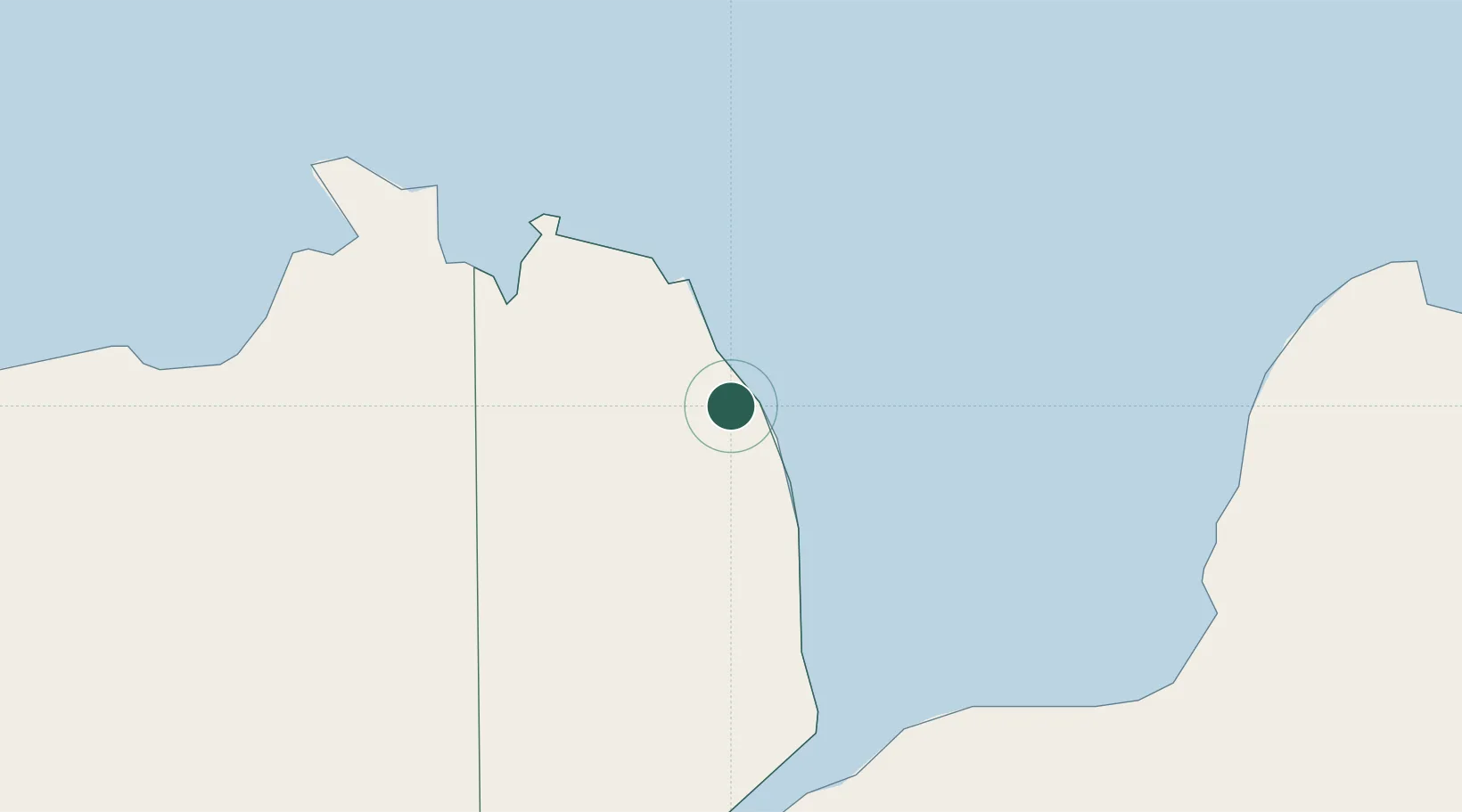
Hub Profile
Place type
Provincial seat
Region
Northern Mindanao
Population
71,373
Time zone
Asia/Manila
Elevation
6 m
Location
Nearby Logistics Neighbours
Cities
- 1Polanco, Mindanao50 km
- 2Lugait52 km
- 3Lazi73 km
- 4Opol84 km
- 5Larena89 km
Ports
- 1Jimenez18 km
- 2Port Ozamis39 km
- 3Iligan55 km
- 4Lazi75 km
- 5Pagadian83 km
Airports
- 1Labo Airport34 km
- 2Dipolog Airport52 km
- 3Laguindingan International Airport74 km
- 4Pagadian Airport82 km
- 5Sibulan Airport109 km
DatabookThe Record of Consolidated Knowledge
Philippines beyond logistics?