Runway & Layout

Airport Specifications
Airport class
Medium airport
Scheduled service
No
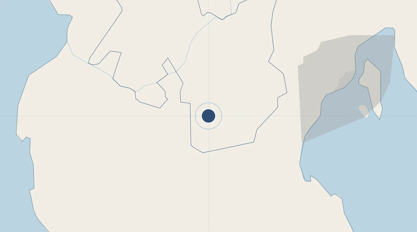
Served city
M'lang
Location
Nearby Logistics Neighbours
Airports
Cities
- 1Astorga58 km
- 2Davao, Mindanao86 km
- 3Panabo94 km
- 4General Santos95 km
- 5DICT / SVT95 km
Ports
- 1Davao78 km
- 2Polloc (Cotabato)92 km
- 3General Santos93 km
- 4Mati143 km
- 5Iligan166 km
Trade Zones
DatabookThe Record of Consolidated Knowledge
Philippines beyond logistics?