Seaport · Philippines
Cagayan De OroPHCGY
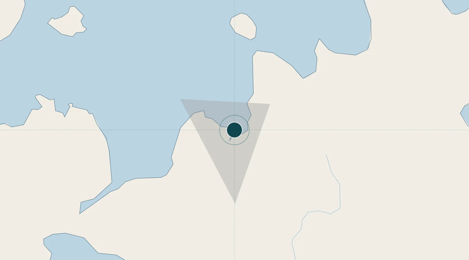
8.5000°, 124.6667°
23.2 m
Channel depth
1
Container terminals
156.7
Port liner connectivity
Channel & Berth Profile
Pilotage, Tugs & Services
Pilotage compulsoryYES
Pilotage availableYES
Pilotage advisableYES
Tug assistanceYES
Potable waterYES
Diesel bunkersNO
MedicalYES
Garbage disposalYES
Facilities & Capabilities
Container—
Ro-Ro—
Liquid bulk—
Dry bulk—
Oil terminal—
Break bulk—
Dry dockNO
RepairsNO
BunkeringYES
Rail link—
Dangerous cargo—
ISPS security—
Harbour Specifications
Harbour size
Medium
Harbour type
Coastal (Natural)
Shelter
Good
Water body
Bohol Sea; Philippine inland seas; North Pacific Ocean
Tidal range
2 m
Pilotage
Yes
Liner Connectivity
156.7
PLSCI
Port Liner Shipping Connectivity Index for Cagayan De Oro, as published by UNCTAD for the latest available quarter. Higher values indicate stronger scheduled liner-shipping integration.
Shown relative to the highest per-port PLSCI in the dataset (1,657.9).
Location
Container Terminals · 1
MACABALAN WHARF CAGAYAN DE ORO
MACA PHILIPPINES PORT AUTHORITY
Nearby Logistics Neighbours
Ports
- 1Bugo9 km
- 2Villanueva14 km
- 3Iligan56 km
- 4Gingoog60 km
- 5Jimenez90 km
Cities
- 1Tagoloan9 km
- 2Opol11 km
- 3Jasaan19 km
- 4Balingasag31 km
- 5Lugait49 km
Airports
- 1Laguindingan International Airport26 km
- 2Camiguin Airport84 km
- 3Labo Airport98 km
- 4Bancasi Airport102 km
- 5Dipolog Airport146 km
Trade Zones
DatabookThe Record of Consolidated Knowledge
Philippines beyond logistics?