Transport Functions
Port
Road
Hub Profile
Place type
Populated place
Region
Northern Mindanao
Population
3,468
Time zone
Asia/Manila
Elevation
16 m
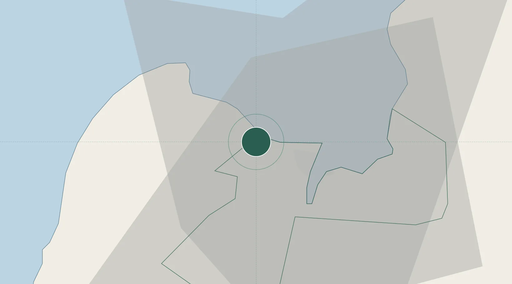
Location
Nearby Logistics Neighbours
Cities
- 1Cagayan de Oro, Mindanao17 km
- 2Tagoloan20 km
- 3Jasaan25 km
- 4Balingasag35 km
- 5Lugait40 km
Ports
- 1Cagayan De Oro11 km
- 2Bugo20 km
- 3Villanueva23 km
- 4Iligan48 km
- 5Gingoog68 km
Airports
- 1Laguindingan International Airport16 km
- 2Camiguin Airport84 km
- 3Labo Airport88 km
- 4Bancasi Airport111 km
- 5Dipolog Airport135 km
Trade Zones
DatabookThe Record of Consolidated Knowledge
Philippines beyond logistics?