Specialized Zone · Philippines

Ororama Megacenter IT Center Active
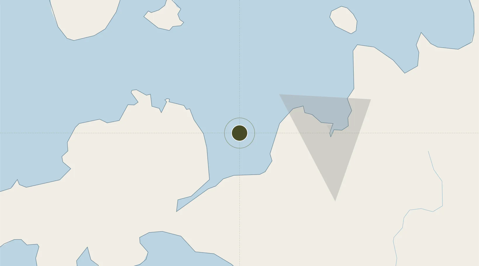
8.4552°, 124.0714°
1 ha
Zone area
26.3 km
Nearest port
39.8 km
Nearest airport

Gateway access

Nearest neighbours — logibook spatial index (haversine) over the source coordinates

Zone profile

Zone type
Specialized Zone
Open Zone Map
Specialization
IT
Open Zone Map
Status
Active
Open Zone Map
Management
Private
Open Zone Map
Operator
Ororama Supercenter, Inc.
Open Zone Map
Legal framework
Special Economic Zone Act (Republic Act No. 7916) (as amended by Republic Act No. 8748)
Open Zone Map

Location

Location of ozm-3640
Natural Earth 10m (public domain) · ozm-3640 · 8.46, 124.07GoogleOSMYandex

Nearby Logistics Neighbours

Ports
  1. 1Jimenez26 km
  2. 2Iligan30 km
  3. 3Port Ozamis43 km
  4. 4Cagayan De Oro66 km
  5. 5Bugo75 km
Nearest neighbours — logibook spatial index (haversine) over the source coordinates
Airports
  1. 1Labo Airport40 km
  2. 2Laguindingan International Airport46 km
  3. 3Dipolog Airport82 km
  4. 4Pagadian Airport97 km
  5. 5Camiguin Airport113 km
Nearest neighbours — logibook spatial index (haversine) over the source coordinates
Cities
  1. 1Lugait24 km
  2. 2Oroquieta30 km
  3. 3Opol55 km
  4. 4Cagayan de Oro, Mindanao72 km
  5. 5Tagoloan75 km
Nearest neighbours — logibook spatial index (haversine) over the source coordinates
Trade Zones
  1. 1NUIVI IALT Ecozone30 km
  2. 2Misamis Occidental-Oroquieta City Economic Zone33 km
  3. 3Balo-I Agro-Industrial Economic Zone40 km
  4. 4Georgetown Cybermall IT Building62 km
  5. 5Paseo del Rio de Cagayan Economic Tourism Zone63 km
Nearest neighbours — logibook spatial index (haversine) over the source coordinates
DatabookThe Record of Consolidated Knowledge
Philippines beyond logistics?
Browse databook

All Sources

Trade ZonesOpen Zone Map
CC BY
Portsthe NGA World Port Index
Public domain (US gov)
AirportsOurAirports
Public domain
LocationsUN/LOCODE
UN/LOCODE — free
← Philippines trade zones