UN/LOCODE hub · Philippines
PHCGY
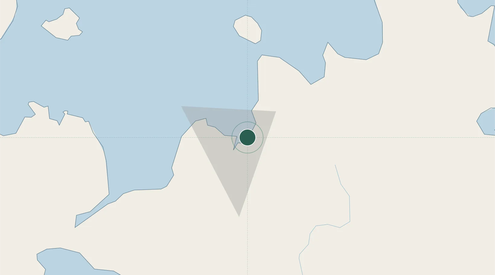
Cagayan de Oro, Mindanao
8.5087°, 124.7218°
2
Transport functions
1
Container terminals
Transport Functions
Port
Airport
Hub Profile
Logistics facilities
10
Container terminals
1
Location
Nearby Logistics Neighbours
Cities
- 1Tagoloan3 km
- 2Jasaan16 km
- 3Opol17 km
- 4Balingasag28 km
- 5Mabini, Mindanao50 km
Ports
- 1Bugo3 km
- 2Villanueva10 km
- 3Gingoog55 km
- 4Iligan62 km
- 5Nasipit Port86 km
Airports
- 1Laguindingan International Airport31 km
- 2Camiguin Airport83 km
- 3Bancasi Airport97 km
- 4Labo Airport104 km
- 5Dipolog Airport152 km
DatabookThe Record of Consolidated Knowledge
Philippines beyond logistics?