Transport Functions
Port
Road
Hub Profile
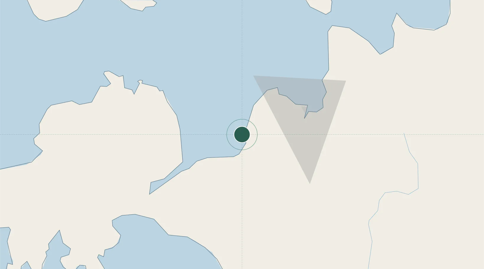
Place type
District seat
Region
Northern Mindanao
Population
7,370
Time zone
Asia/Manila
Elevation
7 m
Location
Nearby Logistics Neighbours
Cities
- 1Opol40 km
- 2Oroquieta52 km
- 3Cagayan de Oro, Mindanao55 km
- 4Tagoloan59 km
- 5Jasaan65 km
Ports
- 1Iligan11 km
- 2Jimenez42 km
- 3Port Ozamis49 km
- 4Cagayan De Oro49 km
- 5Bugo59 km
Airports
- 1Laguindingan International Airport38 km
- 2Labo Airport48 km
- 3Pagadian Airport104 km
- 4Dipolog Airport104 km
- 5Camiguin Airport114 km
Trade Zones
DatabookThe Record of Consolidated Knowledge
Philippines beyond logistics?