Channel & Berth Profile
Pilotage, Tugs & Services
Pilotage compulsoryYES
Pilotage availableYES
Tug assistanceYES
Potable waterNO
Diesel bunkersNO
MedicalYES
Facilities & Capabilities
Container—
Ro-Ro—
Liquid bulk—
Dry bulk—
Oil terminal—
Break bulk—
Dry dock—
RepairsNO
BunkeringNO
Rail link—
Dangerous cargo—
ISPS security—
Harbour Specifications
Harbour size
Very Small
Harbour type
Coastal (Breakwater)
Shelter
Good
Water body
South Pacific Ocean
Overhead limit
Yes
Pilotage
Yes
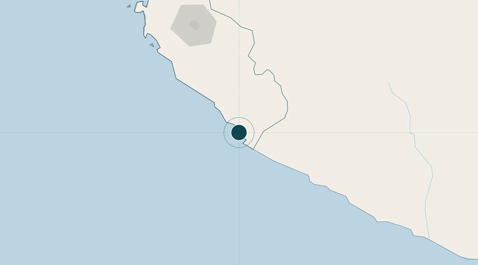
Location
Nearby Logistics Neighbours
Ports
- 1Bahia De Matarani386 km
- 2Conchan Oil Terminal392 km
- 3Puerto Del Callao412 km
- 4La Pampilla Oil Terminal422 km
- 5Bahia De Ancon443 km
Cities
- 1Marcona15 km
- 2Tambo Grande153 km
- 3Chanchamayo183 km
- 4Pisco197 km
- 5Chincha Baja222 km
Airports
DatabookThe Record of Consolidated Knowledge
Peru beyond logistics?