Transport Functions
Port
Road
Hub Profile
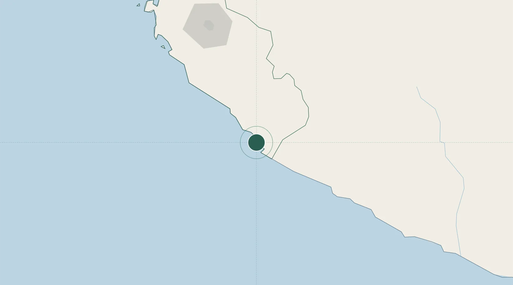
Place type
Populated place
Region
Ica
Time zone
America/Lima
Elevation
42 m
Location
Nearby Logistics Neighbours
Cities
- 1Marcona13 km
- 2Tambo Grande152 km
- 3Chanchamayo185 km
- 4Pisco199 km
- 5Chincha Baja224 km
Ports
- 1Bahia De Matarani385 km
- 2Conchan Oil Terminal394 km
- 3Puerto Del Callao413 km
- 4La Pampilla Oil Terminal424 km
- 5Bahia De Ancon444 km
Airports
DatabookThe Record of Consolidated Knowledge
Peru beyond logistics?