UN/LOCODE hub · Peru
PECHA

Chanchamayo

-13.7000°, -75.8000°
2
Population
1
Transport functions

Transport Functions

Multimodal
UN/LOCODE

Hub Profile

Place type
Populated place
GeoNames
Region
Ica
GeoNames
Population
2
GeoNames
Time zone
America/Lima
GeoNames
Elevation
561 m
GeoNames

Location

Location of PECHA
Natural Earth 10m (public domain) · Ica · PECHA · -13.70, -75.80GoogleOSMYandex

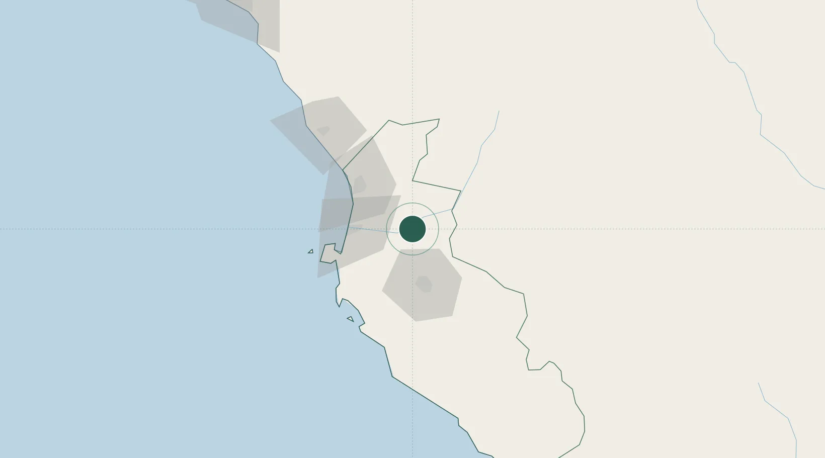
Nearby Logistics Neighbours

Cities
  1. 1Chincha Alta46 km
  2. 2Chincha Baja47 km
  3. 3Tambo de Mora50 km
  4. 4Pisco54 km
  5. 5Quinches160 km
Nearest neighbours — logibook spatial index (haversine) over the source coordinates
Ports
  1. 1Bahia San Nicolas183 km
  2. 2Conchan Oil Terminal214 km
  3. 3Puerto Del Callao235 km
  4. 4La Pampilla Oil Terminal244 km
  5. 5Bahia De Ancon264 km
Nearest neighbours — logibook spatial index (haversine) over the source coordinates
Airports
  1. 1Captain Renán Elías Olivera International Airport46 km
  2. 2Maria Reiche Neuman Airport157 km
  3. 3Air Force Colonel Alfredo Mendivil Duarte Airport183 km
  4. 4Huancayo Airport193 km
  5. 5Francisco Carle Airport216 km
Nearest neighbours — logibook spatial index (haversine) over the source coordinates
DatabookThe Record of Consolidated Knowledge
Peru beyond logistics?
Browse databook

All Sources

LocationsUN/LOCODE
UN/LOCODE — free
LocationsGeoNames
CC BY 4.0
Portsthe NGA World Port Index
Public domain (US gov)
AirportsOurAirports
Public domain
Trade Zonesthe World Bank SEZ database
CC BY 4.0
Trade ZonesOpen Zone Map
CC BY
← Peru locations