UN/LOCODE hub · Peru
PEPIO
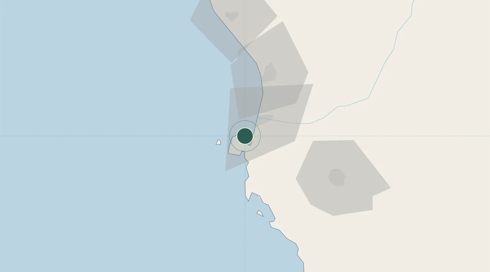
Pisco
-13.8015°, -76.2919°
61,869
Population
2
Transport functions
1
Container terminals
Transport Functions
Port
Airport
Hub Profile
Place type
District seat
Region
Ica
Population
61,869
Time zone
America/Lima
Elevation
19 m
Logistics facilities
2
Container terminals
1
Location
Nearby Logistics Neighbours
Cities
- 1Tambo de Mora39 km
- 2Chincha Baja40 km
- 3Chincha Alta43 km
- 4Chanchamayo54 km
- 5San Bartolo166 km
Ports
- 1Bahia San Nicolas197 km
- 2Conchan Oil Terminal197 km
- 3Puerto Del Callao216 km
- 4La Pampilla Oil Terminal227 km
- 5Bahia De Ancon248 km
Airports
DatabookThe Record of Consolidated Knowledge
Peru beyond logistics?