Transport Functions
Port
Rail
Airport
Hub Profile
Region
ICA
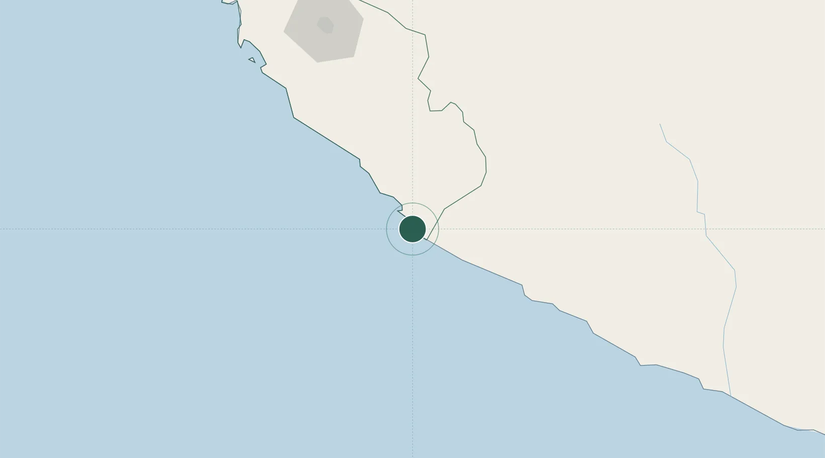
Location
Nearby Logistics Neighbours
Cities
- 1San Nicolas13 km
- 2Tambo Grande140 km
- 3Chanchamayo198 km
- 4Pisco212 km
- 5Chincha Baja237 km
Ports
- 1Bahia San Nicolas15 km
- 2Bahia De Matarani373 km
- 3Conchan Oil Terminal407 km
- 4Puerto Del Callao427 km
- 5La Pampilla Oil Terminal437 km
Airports
DatabookThe Record of Consolidated Knowledge
Peru beyond logistics?