Medium airport · Peru

Maria Reiche Neuman AirportSPZA
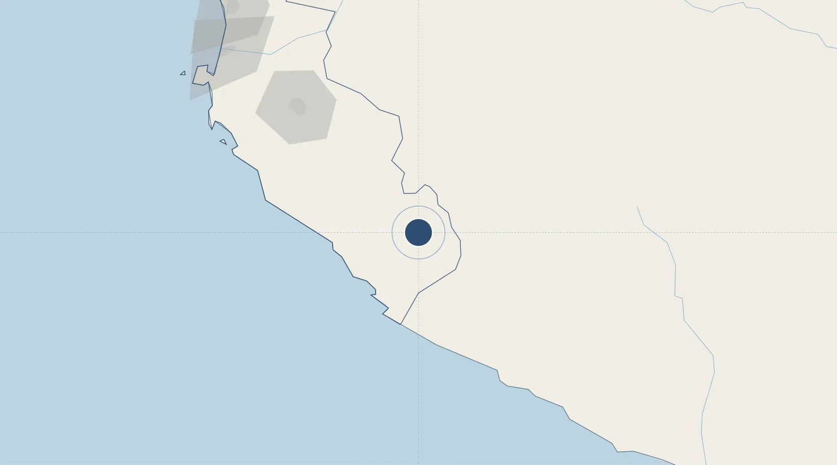
-14.8540°, -74.9615°
3,355 ft
Longest runway
1
Runways
1,860 ft
Elevation

Runway & Layout

Maria Reiche Neuman Airport runway & taxiway layout
Runway & taxiway layout — OpenStreetMap (ODbL) / OurAirports

Radio Frequencies

TWR
118.1 MHz
NASCA TWR
GND
121.9 MHz
OurAirports

Runways · 1

RunwayDimensions SurfaceTrue headingLit
07/25 3,355 × 65ft Asphalt 066°
OurAirports

Airport Specifications

IATA code
NZC
OurAirports
ICAO code
SPZA
OurAirports
Airport class
Medium airport
OurAirports
Scheduled service
Yes
OurAirports
Runway surface
Asphalt
OurAirports
Served city
Nazca
OurAirports

Location

Location of SPZA
Natural Earth 10m (public domain) · Ica · SPZA · -14.85, -74.96GoogleOSMYandex

Nearby Logistics Neighbours

Airports
  1. 1Captain Renán Elías Olivera International Airport183 km
  2. 2Air Force Colonel Alfredo Mendivil Duarte Airport206 km
  3. 3Andahuaylas Airport216 km
  4. 4Huancayo Airport311 km
  5. 5Francisco Carle Airport346 km
Nearest neighbours — logibook spatial index (haversine) over the source coordinates
Cities
  1. 1San Nicolas54 km
  2. 2Marcona61 km
  3. 3Chanchamayo157 km
  4. 4Tambo Grande162 km
  5. 5Pisco185 km
Nearest neighbours — logibook spatial index (haversine) over the source coordinates
Ports
  1. 1Bahia San Nicolas53 km
  2. 2Conchan Oil Terminal371 km
  3. 3Bahia De Matarani387 km
  4. 4Puerto Del Callao391 km
  5. 5La Pampilla Oil Terminal401 km
Nearest neighbours — logibook spatial index (haversine) over the source coordinates
DatabookThe Record of Consolidated Knowledge
Peru beyond logistics?
Browse databook

All Sources

AirportsOurAirports
Public domain
Portsthe NGA World Port Index
Public domain (US gov)
LocationsUN/LOCODE
UN/LOCODE — free
Trade Zonesthe World Bank SEZ database
CC BY 4.0
Trade ZonesOpen Zone Map
CC BY
InfrastructureOpenStreetMap
ODbL 1.0
← Peru airports