Free Trade Zone · Peru

Zona Especial de Desarrollo Matarani (Special Development Zone of Matarani) Active
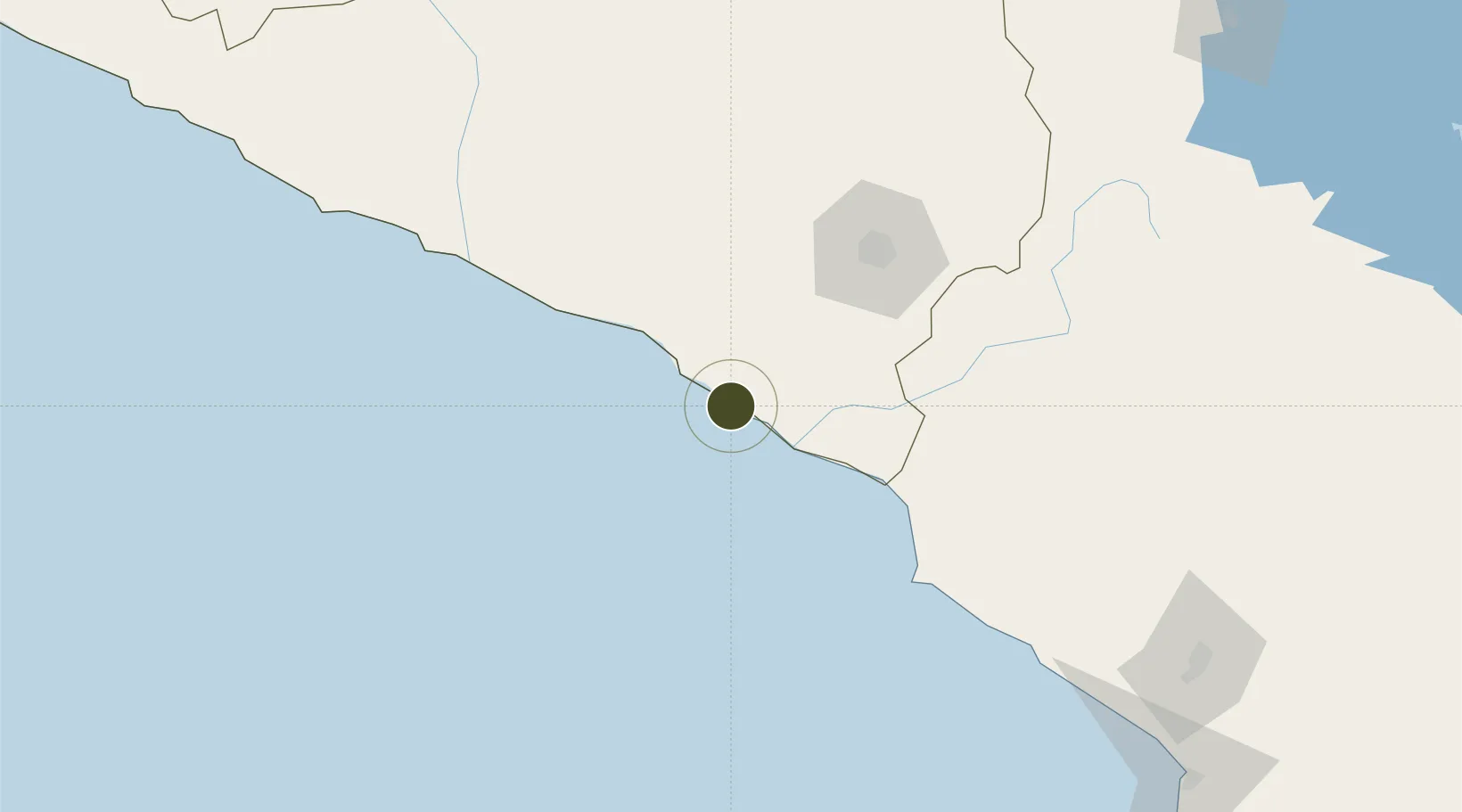
-17.0068°, -72.0935°
52 ha
Zone area
2.6 km
Nearest port
92.7 km
Nearest airport

Gateway access

Nearest neighbours — logibook spatial index (haversine) over the source coordinates

Zone profile

Zone type
Free Trade Zone
Open Zone Map
Region
Arequipa
Open Zone Map
Status
Active
Open Zone Map
Management
Public
Open Zone Map
Operator
ZED Matarani
Open Zone Map
Legal framework
Executive Supreme Decree Nº 015-2019-Produce
Open Zone Map

Location

Location of ozm-3091
Natural Earth 10m (public domain) · Arequipa · ozm-3091 · -17.01, -72.09GoogleOSMYandex

Nearby Logistics Neighbours

Ports
  1. 1Bahia De Matarani3 km
  2. 2Puerto Ilo104 km
  3. 3Rada De Arica247 km
  4. 4Bahia San Nicolas388 km
  5. 5Iquique409 km
Nearest neighbours — logibook spatial index (haversine) over the source coordinates
Cities
  1. 1Matarani2 km
  2. 2Ilo107 km
  3. 3Cailloma206 km
  4. 4Tambo Grande235 km
  5. 5Arica249 km
Nearest neighbours — logibook spatial index (haversine) over the source coordinates
Trade Zones
  1. 1Zona Franca de Tacna (Free Trade Zone of Tacna (ZOFRATACNA)224 km
  2. 2Chacalluta Arica Industrial Park240 km
  3. 3Arica Free Trade Zone240 km
  4. 4Iquique Free Trade Zone411 km
  5. 5La Paz Commercial and Industrial Free Zone419 km
Nearest neighbours — logibook spatial index (haversine) over the source coordinates
DatabookThe Record of Consolidated Knowledge
Peru beyond logistics?
Browse databook

All Sources

Trade ZonesOpen Zone Map
CC BY
Portsthe NGA World Port Index
Public domain (US gov)
AirportsOurAirports
Public domain
LocationsUN/LOCODE
UN/LOCODE — free
← Peru trade zones