Free Zone · Bolivia

La Paz Commercial and Industrial Free Zone
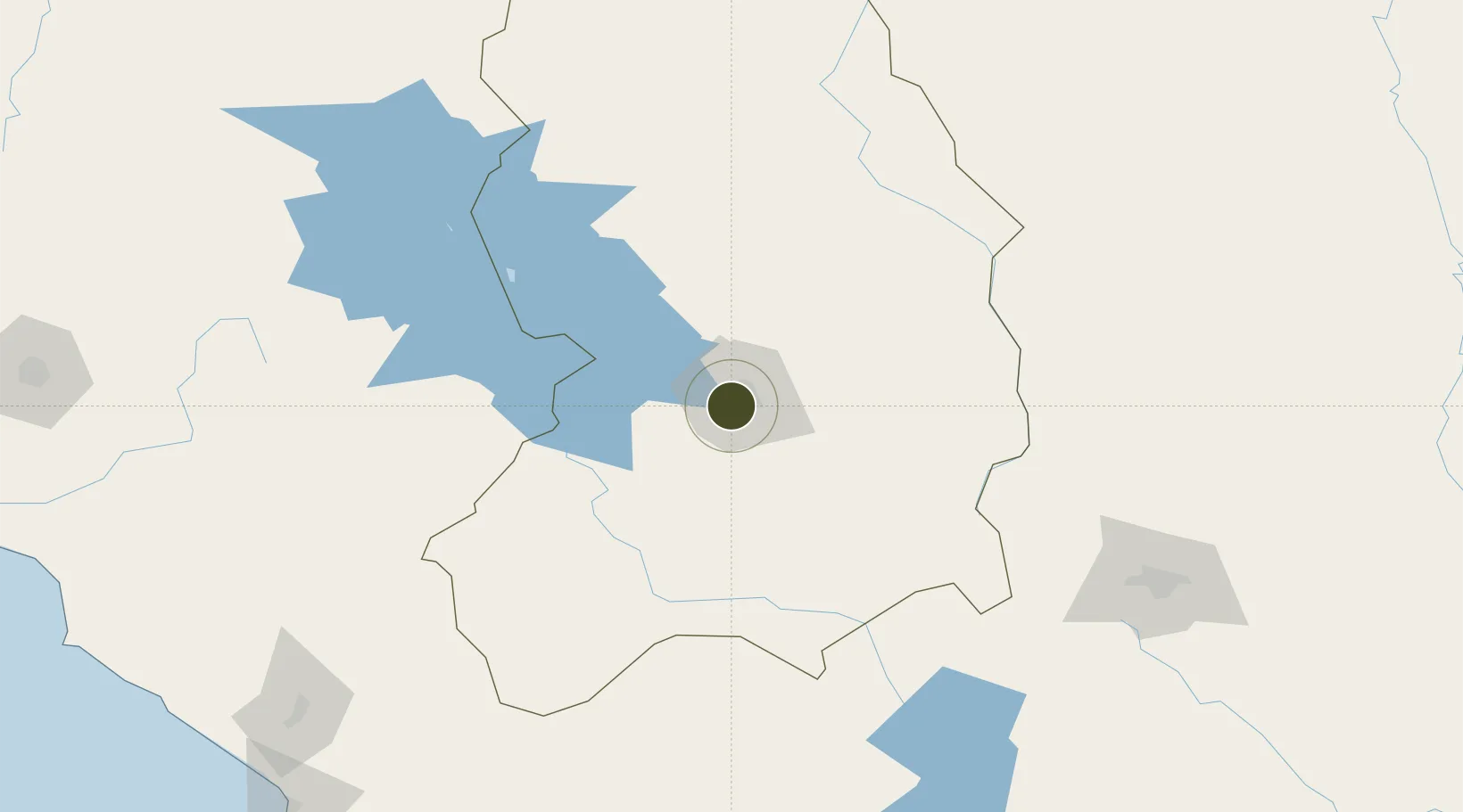
-16.5546°, -68.1832°
10 ha
Zone area
311.7 km
Nearest port
5.0 km
Nearest airport

Gateway access

Nearest neighbours — logibook spatial index (haversine) over the source coordinates

Zone profile

Zone type
Free Zone
the World Bank SEZ database
Region
La Paz
the World Bank SEZ database
Established
Under review
the World Bank SEZ database
Management
Private management
the World Bank SEZ database
Operator
General Industrial and Trading SA
the World Bank SEZ database
Regulatory authority
National Council of Free Trade Zones (CONZOF)
the World Bank SEZ database
Legal framework
Supreme Decree No 0470 Aprueba El Reglamento Del Régimen Especial De Zonas Francas.
the World Bank SEZ database

Location

Location of BOL2
Natural Earth 10m (public domain) · La Paz · BOL2 · -16.55, -68.18GoogleOSMYandex

Fiscal & incentives

Corporate tax
25%
the World Bank SEZ database
Tax relief
No exemption
the World Bank SEZ database
Relief duration
No exemption
the World Bank SEZ database
VAT
100% exempt from VAT and specific consumption tax
the World Bank SEZ database
Import duty (inputs)
100% exempt
the World Bank SEZ database
Import duty (capex)
100% exempt
the World Bank SEZ database
Profit repatriation
No exemption
the World Bank SEZ database
Capital gains
No exemption
the World Bank SEZ database
Withholding tax
No exemption
the World Bank SEZ database
Min. investment
None
the World Bank SEZ database
Min. export
0%
the World Bank SEZ database
Employment incentive
No exemption
the World Bank SEZ database
Developer incentive
No established framework
the World Bank SEZ database

Nearby Logistics Neighbours

Ports
  1. 1Rada De Arica312 km
  2. 2Puerto Ilo359 km
  3. 3Bahia De Matarani422 km
  4. 4Iquique456 km
  5. 5Caleta Patillos511 km
Nearest neighbours — logibook spatial index (haversine) over the source coordinates
Airports
  1. 1El Alto International Airport5 km
  2. 2Juan Mendoza International Airport195 km
  3. 3Jorge Wilsterman International Airport234 km
  4. 4Inca Manco Capac International Airport243 km
  5. 5Rurrenabaque Airport248 km
Nearest neighbours — logibook spatial index (haversine) over the source coordinates
Cities
  1. 1La Paz0 km
  2. 2El Alto6 km
  3. 3Puerto Pérez58 km
  4. 4Huatajata73 km
  5. 5Guaqui73 km
Nearest neighbours — logibook spatial index (haversine) over the source coordinates
Trade Zones
  1. 1Zofrapat Commercial and Industrial Free Zone83 km
  2. 2Zona Franca Oruro194 km
  3. 3Oruro Commercial and Industrial Free Zone204 km
  4. 4Zona Franca de Tacna (Free Trade Zone of Tacna (ZOFRATACNA)281 km
  5. 5Chacalluta Arica Industrial Park303 km
Nearest neighbours — logibook spatial index (haversine) over the source coordinates
DatabookThe Record of Consolidated Knowledge
Bolivia beyond logistics?
Browse databook

All Sources

Trade Zonesthe World Bank SEZ database
CC BY 4.0
Portsthe NGA World Port Index
Public domain (US gov)
AirportsOurAirports
Public domain
LocationsUN/LOCODE
UN/LOCODE — free
← Bolivia trade zones