Transport Functions
Port
Road
Hub Profile
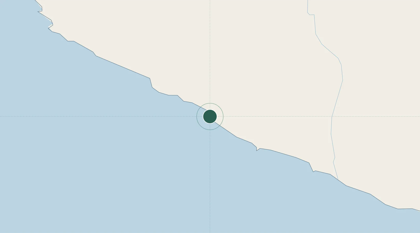
Place type
Populated place
Region
Arequipa
Time zone
America/Lima
Location
Nearby Logistics Neighbours
Cities
- 1Marcona140 km
- 2San Nicolas152 km
- 3Matarani234 km
- 4Abancay292 km
- 5Chanchamayo319 km
Ports
- 1Bahia San Nicolas153 km
- 2Bahia De Matarani233 km
- 3Puerto Ilo337 km
- 4Rada De Arica479 km
- 5Conchan Oil Terminal533 km
Airports
DatabookThe Record of Consolidated Knowledge
Peru beyond logistics?