Large airport · Peru

Captain Renán Elías Olivera International AirportSPSO

-13.7449°, -76.2203°
9,908 ft
Longest runway
1
Runways
39 ft
Elevation

Runway & Layout

Captain Renán Elías Olivera International Airport runway & taxiway layout
Runway & taxiway layout — OpenStreetMap (ODbL) / OurAirports

Radio Frequencies

GND
121.9 MHz
APP
118.3 MHz
APP/TWR
RDO
126.9 MHz
OurAirports

Navaids

SCO VOR-DME Pisco 114.10 MHz
SCO NDB Pisco 355 kHz
OurAirports

Runways · 1

RunwayDimensions SurfaceTrue headingLit
04/22 9,908 × 148ft Asphalt 038°
OurAirports

Airport Specifications

IATA code
PIO
OurAirports
ICAO code
SPSO
OurAirports
Airport class
Large airport
OurAirports
Scheduled service
No
OurAirports
Runway surface
Asphalt
OurAirports
Served city
Pisco
OurAirports

Location

Location of SPSO
Natural Earth 10m (public domain) · Ica · SPSO · -13.74, -76.22GoogleOSMYandex

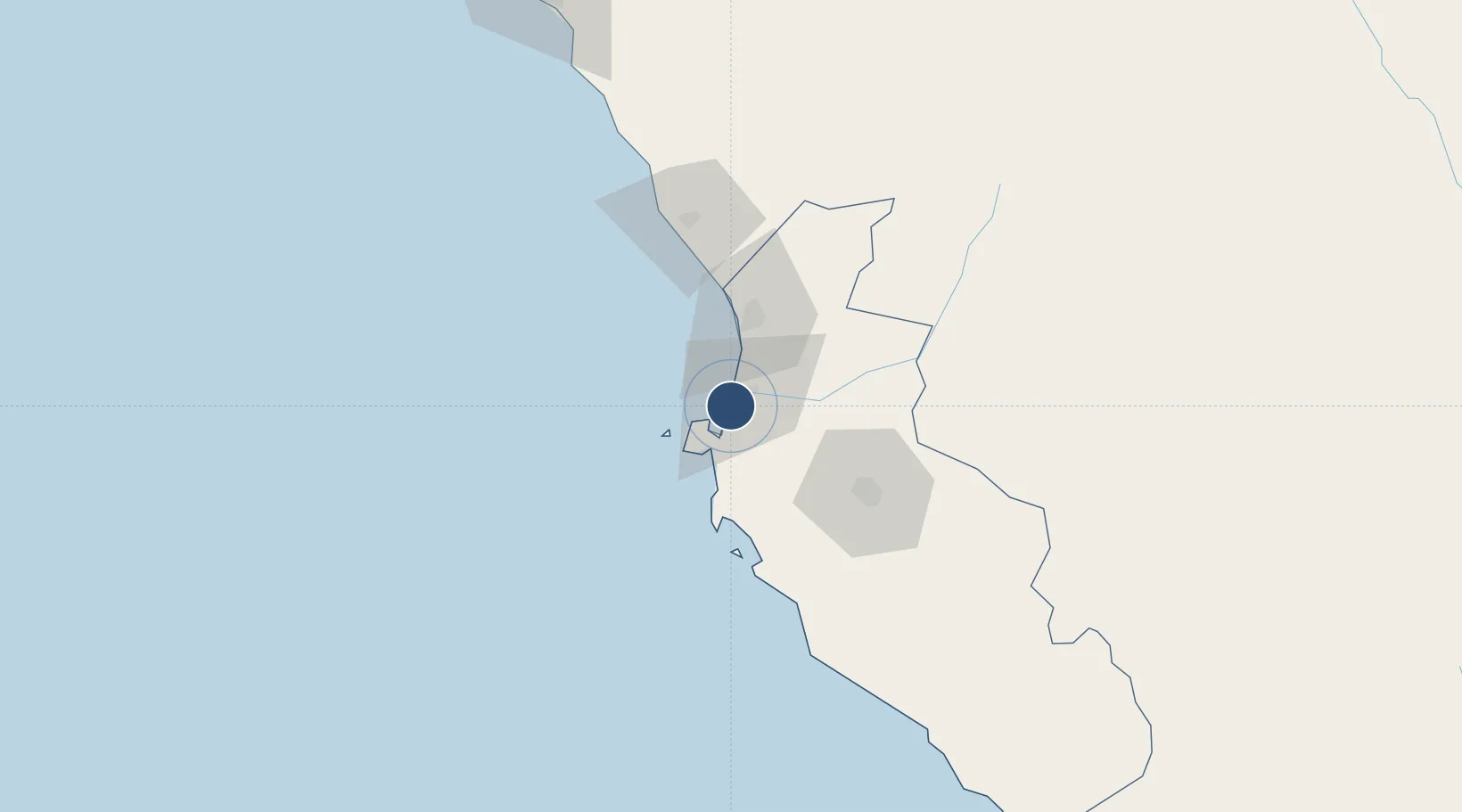
Nearby Logistics Neighbours

Airports
  1. 1Maria Reiche Neuman Airport183 km
  2. 2Jorge Chávez International Airport215 km
  3. 3Huancayo Airport217 km
  4. 4Air Force Colonel Alfredo Mendivil Duarte Airport228 km
  5. 5Francisco Carle Airport233 km
Nearest neighbours — logibook spatial index (haversine) over the source coordinates
Cities
  1. 1Pisco10 km
  2. 2Tambo de Mora31 km
  3. 3Chincha Baja32 km
  4. 4Chincha Alta34 km
  5. 5Chanchamayo46 km
Nearest neighbours — logibook spatial index (haversine) over the source coordinates
Ports
  1. 1Conchan Oil Terminal195 km
  2. 2Bahia San Nicolas198 km
  3. 3Puerto Del Callao214 km
  4. 4La Pampilla Oil Terminal224 km
  5. 5Bahia De Ancon245 km
Nearest neighbours — logibook spatial index (haversine) over the source coordinates
DatabookThe Record of Consolidated Knowledge
Peru beyond logistics?
Browse databook

All Sources

AirportsOurAirports
Public domain
Portsthe NGA World Port Index
Public domain (US gov)
LocationsUN/LOCODE
UN/LOCODE — free
Trade Zonesthe World Bank SEZ database
CC BY 4.0
Trade ZonesOpen Zone Map
CC BY
InfrastructureOpenStreetMap
ODbL 1.0
← Peru airports