Channel & Berth Profile
Pilotage, Tugs & Services
Pilotage compulsoryYES
Tug assistanceYES
Potable waterYES
Garbage disposalNO
Facilities & Capabilities
Container—
Ro-Ro—
Liquid bulk—
Dry bulk—
Oil terminal—
Break bulk—
Dry dock—
Repairs—
Bunkering—
Rail linkYES
Dangerous cargo—
ISPS security—
Harbour Specifications
Harbour size
Very Small
Harbour type
Open Roadstead
Shelter
Fair
Water body
South Pacific Ocean
Tidal range
2 m
Pilotage
Yes
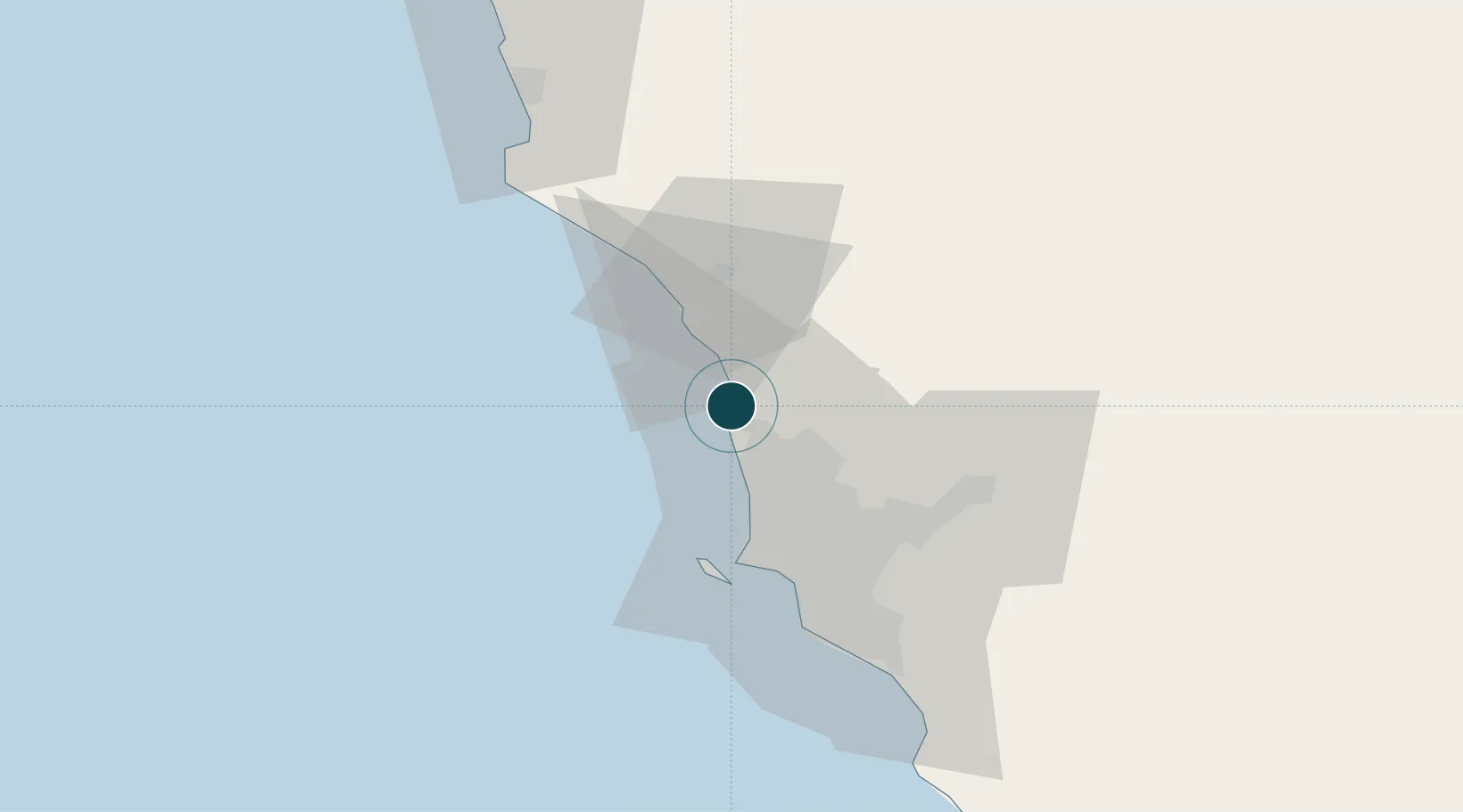
Location
Nearby Logistics Neighbours
Ports
- 1Chancay20 km
- 2La Pampilla Oil Terminal21 km
- 3Puerto Del Callao34 km
- 4Conchan Oil Terminal50 km
- 5Puerto De Huacho85 km
Cities
- 1Chancay20 km
- 2Huaral30 km
- 3Callao30 km
- 4Lima36 km
- 5San Isidro43 km
Airports
Trade Zones
- 1Zona Especial de Desarrollo Matarani (Special Development Zone of Matarani)801 km
- 2Zona Especial de Desarrollo Paita (Special Development Zone of Paita)856 km
- 3Cobija Commercial and Industrial Free Zone917 km
- 4Zona Franca del Oro987 km
- 5Zona Franca de Tacna (Free Trade Zone of Tacna (ZOFRATACNA)1020 km
DatabookThe Record of Consolidated Knowledge
Peru beyond logistics?