Seaport · Peru
Bahia De MataraniPEMRI
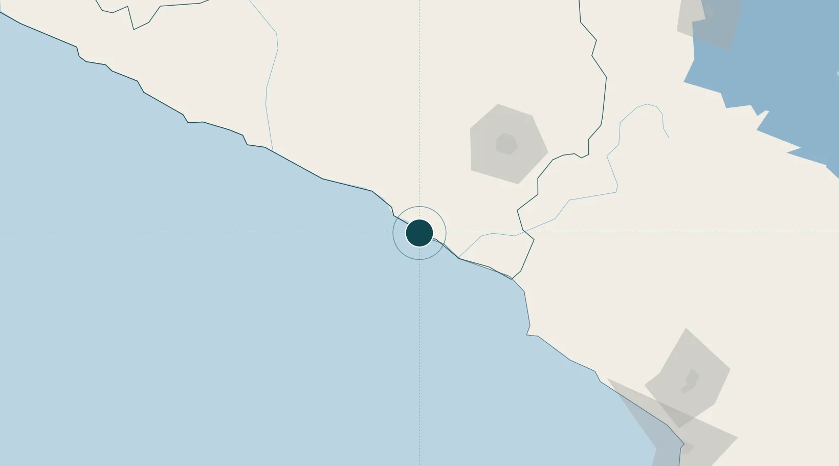
-17.0000°, -72.1167°
12.5 m
Channel depth
16.9
Port liner connectivity
Channel & Berth Profile
Pilotage, Tugs & Services
Pilotage compulsoryYES
Pilotage availableYES
Pilotage advisableYES
Tug assistanceYES
Shore powerYES
Potable waterNO
Diesel bunkersYES
MedicalYES
Garbage disposalYES
Facilities & Capabilities
Container—
Ro-Ro—
Liquid bulk—
Dry bulk—
Oil terminal—
Break bulk—
Dry dock—
RepairsNO
BunkeringNO
Rail linkYES
Dangerous cargo—
ISPS security—
Harbour Specifications
Harbour size
Small
Harbour type
Coastal (Breakwater)
Shelter
Good
Water body
South Pacific Ocean
Tidal range
3 m
Overhead limit
Yes
Pilotage
Yes
Liner Connectivity
16.9
PLSCI
Port Liner Shipping Connectivity Index for Bahia De Matarani, as published by UNCTAD for the latest available quarter. Higher values indicate stronger scheduled liner-shipping integration.
Shown relative to the highest per-port PLSCI in the dataset (1,657.9).
Location
Nearby Logistics Neighbours
Ports
- 1Puerto Ilo106 km
- 2Rada De Arica250 km
- 3Bahia San Nicolas386 km
- 4Iquique411 km
- 5Caleta Patillos462 km
Cities
- 1Ilo109 km
- 2Cailloma205 km
- 3Tambo Grande233 km
- 4Arica251 km
- 5General Lagos273 km
Airports
DatabookThe Record of Consolidated Knowledge
Peru beyond logistics?