Channel & Berth Profile
Pilotage, Tugs & Services
Pilotage availableYES
Potable waterYES
Facilities & Capabilities
Container—
Ro-Ro—
Liquid bulk—
Dry bulk—
Oil terminal—
Break bulk—
Dry dock—
Repairs—
BunkeringYES
Rail linkYES
Dangerous cargo—
ISPS security—
Harbour Specifications
Harbour size
Small
Harbour type
Open Roadstead
Shelter
Poor
Water body
South Pacific Ocean
Tidal range
1 m
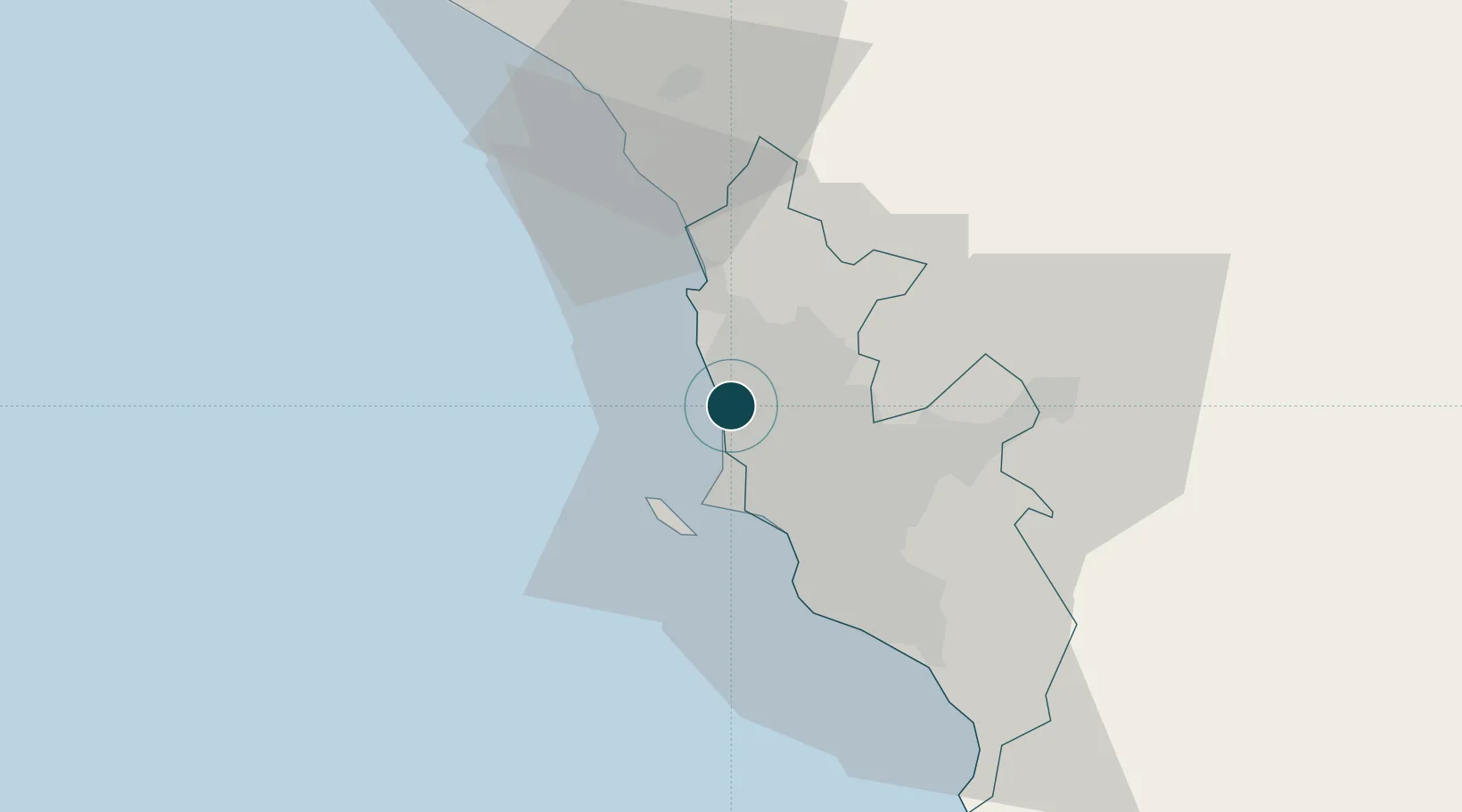
Location
Nearby Logistics Neighbours
Ports
- 1Puerto Del Callao13 km
- 2Bahia De Ancon21 km
- 3Conchan Oil Terminal30 km
- 4Chancay41 km
- 5Puerto De Huacho105 km
Cities
- 1Callao9 km
- 2Lima16 km
- 3Ancón19 km
- 4San Isidro22 km
- 5Monterrico Chico26 km
Airports
Trade Zones
- 1Zona Especial de Desarrollo Matarani (Special Development Zone of Matarani)783 km
- 2Zona Especial de Desarrollo Paita (Special Development Zone of Paita)877 km
- 3Cobija Commercial and Industrial Free Zone913 km
- 4Zona Franca de Tacna (Free Trade Zone of Tacna (ZOFRATACNA)1002 km
- 5Zona Franca del Oro1008 km
DatabookThe Record of Consolidated Knowledge
Peru beyond logistics?