Transport Functions
Multimodal
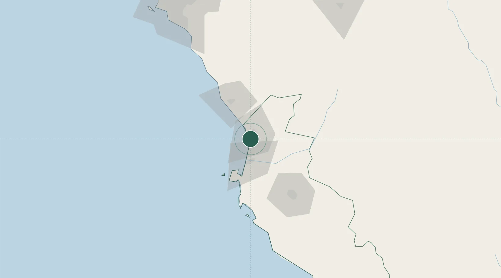
Hub Profile
Place type
District seat
Region
Ica
Time zone
America/Lima
Elevation
35 m
Location
Nearby Logistics Neighbours
Cities
- 1Tambo de Mora4 km
- 2Chincha Alta4 km
- 3Pisco40 km
- 4Chanchamayo47 km
- 5Quinches130 km
Ports
- 1Conchan Oil Terminal171 km
- 2Puerto Del Callao190 km
- 3La Pampilla Oil Terminal200 km
- 4Bahia De Ancon221 km
- 5Bahia San Nicolas222 km
Airports
DatabookThe Record of Consolidated Knowledge
Peru beyond logistics?