Medium airport · Peru
Air Force Colonel Alfredo Mendivil Duarte AirportSPHO
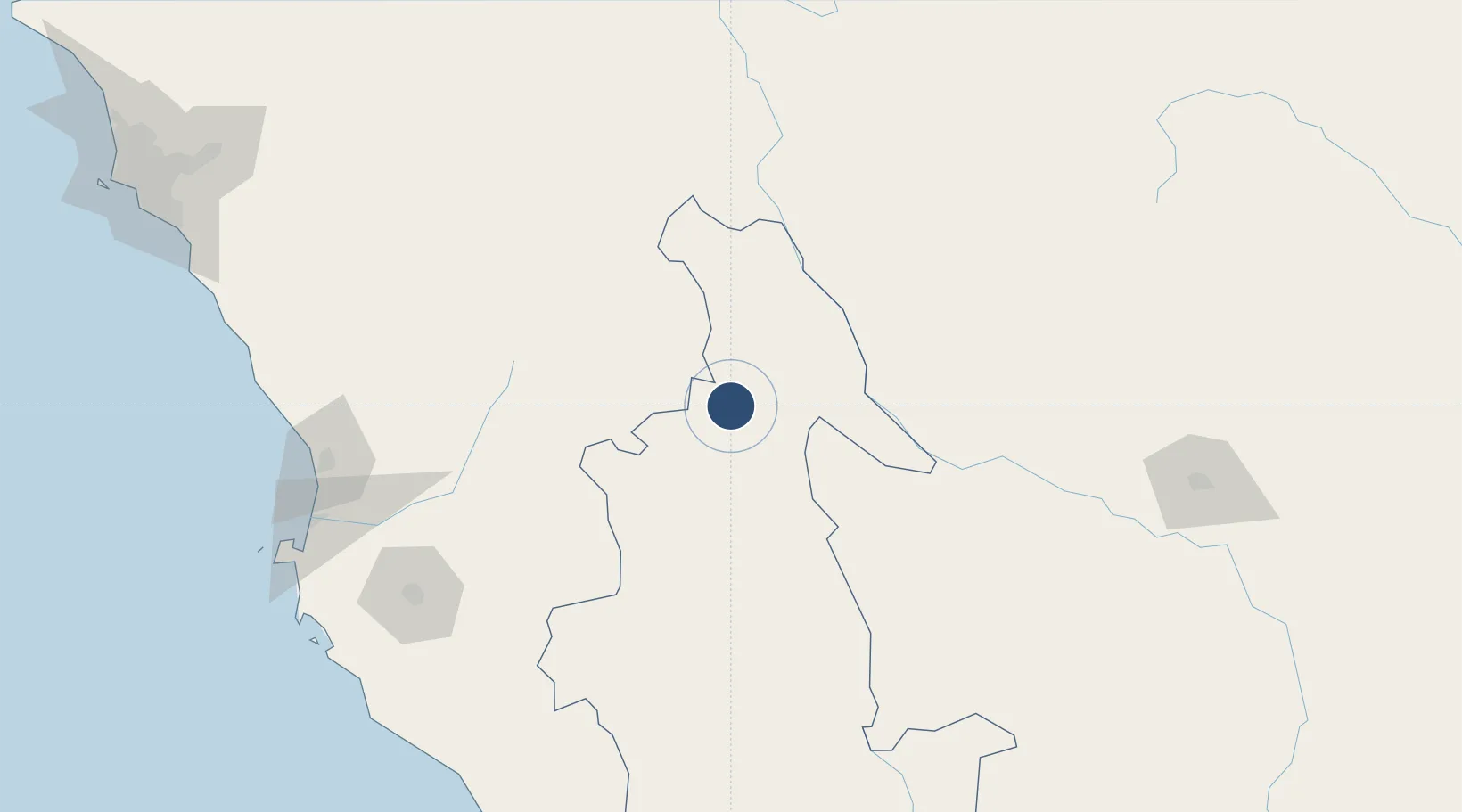
-13.1548°, -74.2044°
9,186 ft
Longest runway
1
Runways
8,917 ft
Elevation
Runway & Layout

Radio Frequencies
TWR
118.1 MHz
AYACUCHO TWR
RDO
126.9 MHz
AYACUCHO RDO
Navaids
AYA NDB Ayacucho 370 kHz
Runways · 1
| Runway | Dimensions | Surface | True heading | Lit |
|---|---|---|---|---|
| 02/20 | 9,186 × 148ft | Asphalt | 023° | ✓ |
Airport Specifications
IATA code
AYP
ICAO code
SPHO
Airport class
Medium airport
Scheduled service
Yes
Runway surface
Asphalt
Served city
Ayacucho
Location
Nearby Logistics Neighbours
Airports
- 1Andahuaylas Airport111 km
- 2Huancayo Airport162 km
- 3Francisco Carle Airport206 km
- 4Maria Reiche Neuman Airport206 km
- 5Captain Renán Elías Olivera International Airport228 km
Cities
- 1Abancay154 km
- 2Chanchamayo183 km
- 3Chincha Alta211 km
- 4Chincha Baja215 km
- 5Tambo de Mora219 km
Ports
- 1Bahia San Nicolas258 km
- 2Conchan Oil Terminal323 km
- 3Puerto Del Callao342 km
- 4La Pampilla Oil Terminal346 km
- 5Bahia De Ancon359 km
DatabookThe Record of Consolidated Knowledge
Peru beyond logistics?