Small airport · Peru

Andahuaylas AirportSPHY
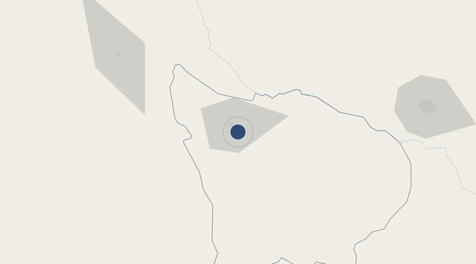
-13.7064°, -73.3504°
8,202 ft
Longest runway
1
Runways
11,300 ft
Elevation

Runway & Layout

Andahuaylas Airport runway & taxiway layout
Runway & taxiway layout — OpenStreetMap (ODbL) / OurAirports

Radio Frequencies

RDO
126.9 MHz
OurAirports

Navaids

AND VOR-DME Andahuaylas 114.30 MHz
AND NDB Andahuaylas 290 kHz
OurAirports

Runways · 1

RunwayDimensions SurfaceTrue headingLit
03/21 8,202 × 98ft Asphalt 032°
OurAirports

Airport Specifications

IATA code
ANS
OurAirports
ICAO code
SPHY
OurAirports
Airport class
Small airport
OurAirports
Scheduled service
Yes
OurAirports
Runway surface
Asphalt
OurAirports
Served city
Andahuaylas
OurAirports

Location

Location of SPHY
Natural Earth 10m (public domain) · Apurímac · SPHY · -13.71, -73.35GoogleOSMYandex

Nearby Logistics Neighbours

Airports
  1. 1Air Force Colonel Alfredo Mendivil Duarte Airport111 km
  2. 2Alejandro Velasco Astete International Airport154 km
  3. 3Maria Reiche Neuman Airport216 km
  4. 4Huancayo Airport271 km
  5. 5Captain Renán Elías Olivera International Airport310 km
Nearest neighbours — logibook spatial index (haversine) over the source coordinates
Cities
  1. 1Abancay53 km
  2. 2Cailloma237 km
  3. 3Chanchamayo265 km
  4. 4Tambo Grande265 km
  5. 5San Nicolas267 km
Nearest neighbours — logibook spatial index (haversine) over the source coordinates
Ports
  1. 1Bahia San Nicolas266 km
  2. 2Bahia De Matarani389 km
  3. 3Conchan Oil Terminal431 km
  4. 4Puerto Del Callao451 km
  5. 5La Pampilla Oil Terminal455 km
Nearest neighbours — logibook spatial index (haversine) over the source coordinates
DatabookThe Record of Consolidated Knowledge
Peru beyond logistics?
Browse databook

All Sources

AirportsOurAirports
Public domain
Portsthe NGA World Port Index
Public domain (US gov)
LocationsUN/LOCODE
UN/LOCODE — free
Trade Zonesthe World Bank SEZ database
CC BY 4.0
Trade ZonesOpen Zone Map
CC BY
InfrastructureOpenStreetMap
ODbL 1.0
← Peru airports