Export Processing Zone · Chile
Chacalluta Arica Industrial Park Active
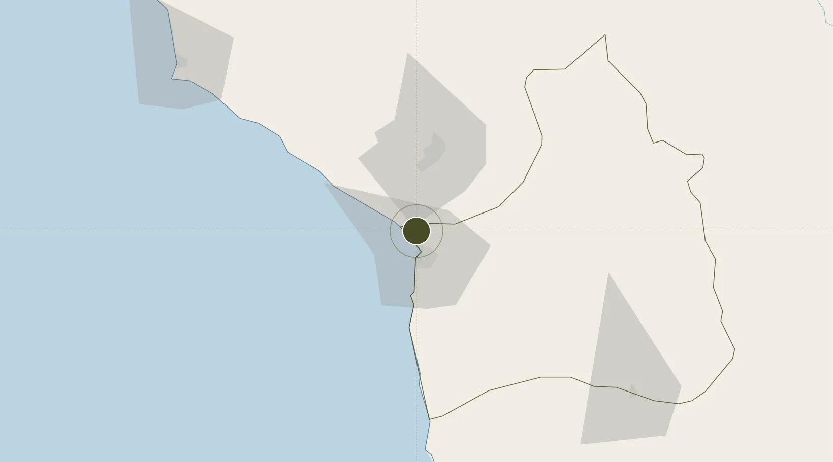
-18.3561°, -70.3251°
130 ha
Zone area
12.3 km
Nearest port
1.7 km
Nearest airport
Gateway access
Zone profile
Zone type
Export Processing Zone
Region
Arica y Parinacota
Status
Active
Management
Public-Private Partnership
Operator
ZOFRI, SA
Legal framework
Decreto Con Fuerza de Ley Nº 341, DE 1977
Location
Nearby Logistics Neighbours
Ports
- 1Rada De Arica12 km
- 2Puerto Ilo136 km
- 3Iquique206 km
- 4Bahia De Matarani242 km
- 5Caleta Patillos265 km
Airports
Cities
- 1Arica11 km
- 2General Lagos107 km
- 3Ilo134 km
- 4Pisagua139 km
- 5Guayubín175 km
DatabookThe Record of Consolidated Knowledge
Chile beyond logistics?