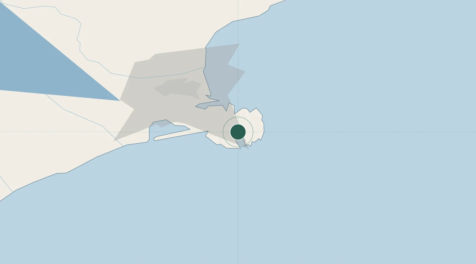
UN/LOCODE hub · New Zealand
NZAKA

Akaroa

-43.8000°, 172.9500°
700
Population
1
Transport functions

Transport Functions

Port
Akaroa is also a profiled seaport →
UN/LOCODE

Hub Profile

Place type
Populated place
GeoNames
Region
Canterbury
GeoNames
Population
700
GeoNames
Time zone
Pacific/Auckland
GeoNames
Elevation
8 m
GeoNames

Location

Location of NZAKA
Natural Earth 10m (public domain) · Canterbury · NZAKA · -43.80, 172.95GoogleOSMYandex

Nearby Logistics Neighbours

Cities
  1. 1Clifton32 km
  2. 2Lyttelton33 km
  3. 3Hornby44 km
  4. 4Rolleston52 km
  5. 5Timaru150 km
Nearest neighbours — logibook spatial index (haversine) over the source coordinates
Ports
  1. 1Port Lyttelton29 km
  2. 2Timaru151 km
  3. 3Greymouth207 km
  4. 4Westport253 km
  5. 5Nelson283 km
Nearest neighbours — logibook spatial index (haversine) over the source coordinates
Airports
  1. 1Christchurch International Airport48 km
  2. 2Timaru Airport149 km
  3. 3Oamaru Airport197 km
  4. 4Hokitika Airfield200 km
  5. 5Mount Cook Airport226 km
Nearest neighbours — logibook spatial index (haversine) over the source coordinates
Trade Zones
  1. 1Hicks Bay Area Special Economic Zone816 km
  2. 2Latrobe Valley Economic Growth Zone2302 km
  3. 3Rotuma-Kadavu Tax-Free Region2899 km
  4. 4Kalabu Tax Free Zone2905 km
  5. 5Nausori-Ba Tax-Free Region2913 km
Nearest neighbours — logibook spatial index (haversine) over the source coordinates
DatabookThe Record of Consolidated Knowledge
New Zealand beyond logistics?
Browse databook

All Sources

LocationsUN/LOCODE
UN/LOCODE — free
LocationsGeoNames
CC BY 4.0
Portsthe NGA World Port Index
Public domain (US gov)
AirportsOurAirports
Public domain
Trade Zonesthe World Bank SEZ database
CC BY 4.0
Trade ZonesOpen Zone Map
CC BY
← New Zealand locations