Medium airport · New Zealand
Timaru AirportNZTU
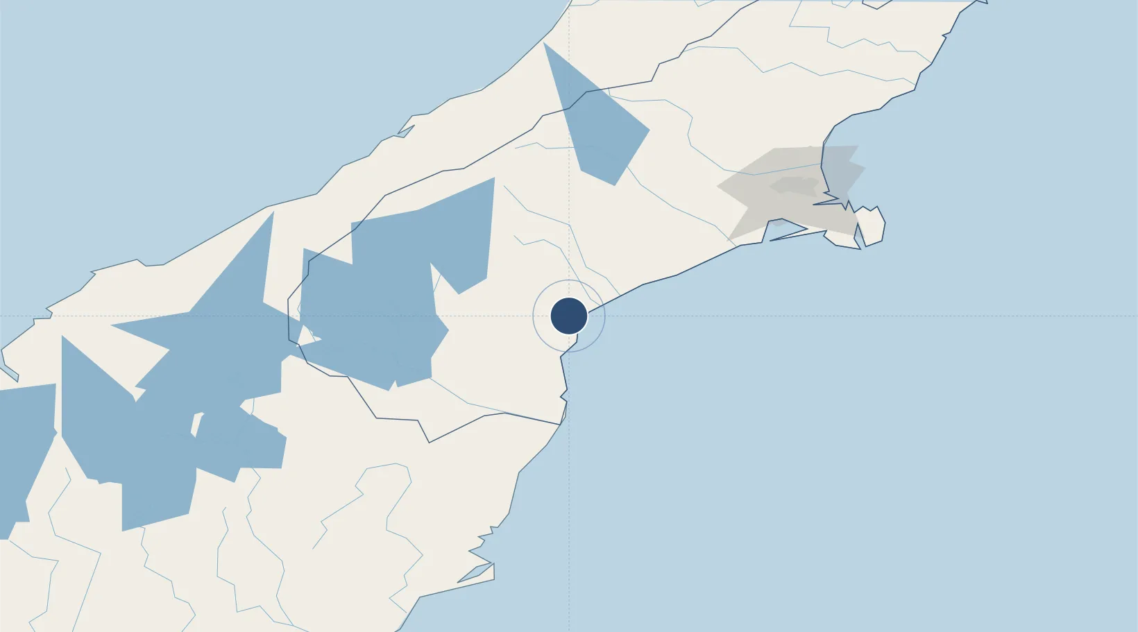
-44.3028°, 171.2250°
4,200 ft
Longest runway
3
Runways
89 ft
Elevation
Runway & Layout

Radio Frequencies
CTRL
129.3 MHz
FLIGHT INFORMATION & TIMARU QNH – CHRISTCHURCH CONTROL
Unattended
119.5 MHz
Navaids
TU NDB-DME Timaru 0.37 MHz
Runways · 3
| Runway | Dimensions | Surface | True heading | Lit |
|---|---|---|---|---|
| 02/20 | 4,200 × 148ft | Asphalt | 042° | ✓ |
| 02L/20R | 3,898 × 197ft | Grass | 040° | — |
| 11/29 | 3,652 × 295ft | Grass | 133° | — |
Airport Specifications
IATA code
TIU
ICAO code
NZTU
Airport class
Medium airport
Scheduled service
Yes
Runway surface
Asphalt
Location
Nearby Logistics Neighbours
Airports
- 1Oamaru Airport75 km
- 2Pukaki Airport89 km
- 3Glentanner Airport98 km
- 4Mount Cook Airport106 km
- 5Christchurch International Airport138 km
Cities
- 1Timaru10 km
- 2Pareora22 km
- 3Glenavy69 km
- 4Pukeuri Junction83 km
- 5Otematata84 km
Ports
- 1Timaru11 km
- 2Port Lyttelton143 km
- 3Akaroa150 km
- 4Otago Harbor175 km
- 5Greymouth208 km
Trade Zones
- 1Hicks Bay Area Special Economic Zone944 km
- 2Latrobe Valley Economic Growth Zone2173 km
- 3Rotuma-Kadavu Tax-Free Region2985 km
- 4Kalabu Tax Free Zone2992 km
- 5Nausori-Ba Tax-Free Region3000 km
DatabookThe Record of Consolidated Knowledge
New Zealand beyond logistics?