UN/LOCODE hub · New Zealand
NZTIU
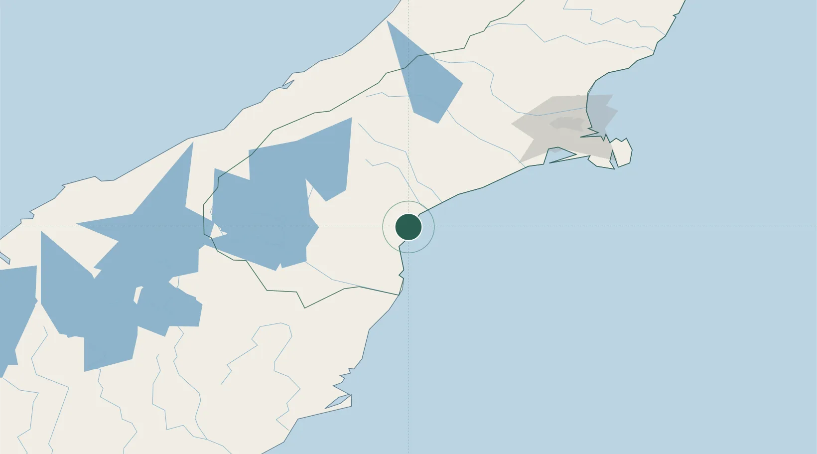
Timaru
-44.3859°, 171.2528°
29,400
Population
4
Transport functions
2
Container terminals
Transport Functions
Port
Rail
Road
Airport
Hub Profile
Place type
Populated place
Region
Canterbury
Population
29,400
Time zone
Pacific/Auckland
Elevation
14 m
Logistics facilities
4
Container terminals
2
Location
Nearby Logistics Neighbours
Cities
- 1Pareora13 km
- 2Glenavy60 km
- 3Pukeuri Junction74 km
- 4Otematata82 km
- 5Rolleston127 km
Ports
- 1Port Lyttelton146 km
- 2Akaroa152 km
- 3Otago Harbor166 km
- 4Greymouth217 km
- 5Westport295 km
Airports
- 1Timaru Airport10 km
- 2Oamaru Airport66 km
- 3Pukaki Airport92 km
- 4Glentanner Airport104 km
- 5Mount Cook Airport113 km
Trade Zones
- 1Hicks Bay Area Special Economic Zone950 km
- 2Latrobe Valley Economic Growth Zone2176 km
- 3Rotuma-Kadavu Tax-Free Region2994 km
- 4Kalabu Tax Free Zone3001 km
- 5Nausori-Ba Tax-Free Region3009 km
DatabookThe Record of Consolidated Knowledge
New Zealand beyond logistics?