Transport Functions
Port
Road
Hub Profile
Region
18
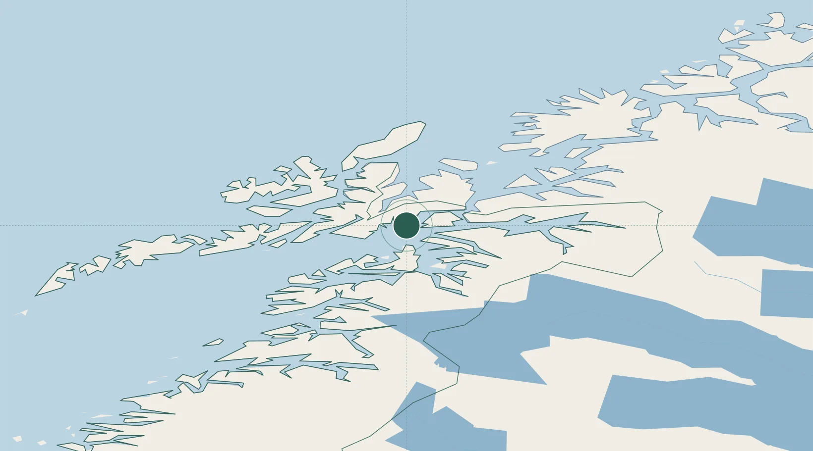
Location
Nearby Logistics Neighbours
Cities
- 1Ramsund22 km
- 2Bognes23 km
- 3Anfinnsletta24 km
- 4Fjelldal26 km
- 5Sigerfjord30 km
Ports
- 1Ulvik19 km
- 2Tranoy29 km
- 3Litle Ballangen37 km
- 4Lilandsgrunnen38 km
- 5Sortland39 km
Airports
- 1Harstad/Narvik Airport30 km
- 2Stokmarknes Airport, Skagen43 km
- 3Svolvær Airport, Helle57 km
- 4Andøya Airport, Andenes98 km
- 5Leknes Airport102 km
Trade Zones
- 1Oulu Port Free Warehouse Area562 km
- 2Turku Free Zone934 km
- 3Freeport of Hanko1010 km
- 4Stockholm Free Zone1014 km
- 5Port of Hamina-Kotka1025 km
DatabookThe Record of Consolidated Knowledge
Norway beyond logistics?