Transport Functions
Port
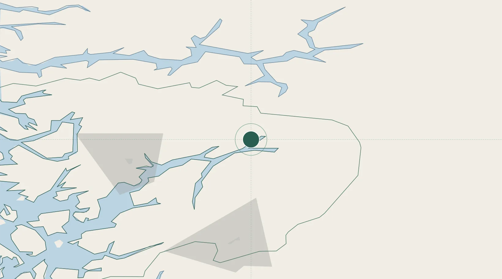
Hub Profile
Place type
Provincial seat
Region
Vestland
Population
1,067
Time zone
Europe/Oslo
Elevation
26 m
Location
Nearby Logistics Neighbours
Ports
- 1Norheimsund47 km
- 2Odda56 km
- 3Vaksdal66 km
- 4Ardalstangen85 km
- 5Bergen91 km
Airports
- 1Sogndal Airport, Haukåsen67 km
- 2Bergen Airport, Flesland98 km
- 3Førde Airport, Bringeland111 km
- 4Stord Airport, Sørstokken123 km
- 5Sandane Airport, Anda147 km
Trade Zones
- 1Gothenburg Boundless Customs Warehouse423 km
- 2Jönköping Free Zone514 km
- 3Freeport of Copenhagen- Nordhavn634 km
- 4MTS Malmö Transport and Spedition660 km
- 5Freeport of Kiel720 km
DatabookThe Record of Consolidated Knowledge
Norway beyond logistics?