Transport Functions
Port
Road
Hub Profile
Region
18
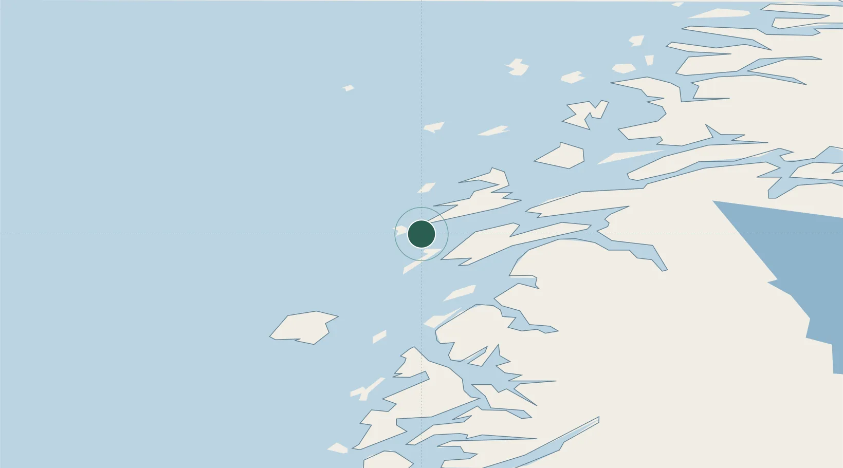
Location
Nearby Logistics Neighbours
Cities
- 1Sandnessjøen16 km
- 2Botn - Sandnessjøen16 km
- 3Tjøtta20 km
- 4Leirfjord30 km
- 5Igerøy34 km
Ports
- 1Sandnessjoen16 km
- 2Tjotta19 km
- 3Nesna40 km
- 4Mosjoen42 km
- 5Bronnoysund58 km
Airports
Trade Zones
- 1Turku Free Zone789 km
- 2Stockholm Free Zone794 km
- 3Freeport of Hanko867 km
- 4Jönköping Free Zone918 km
- 5Gothenburg Boundless Customs Warehouse921 km
DatabookThe Record of Consolidated Knowledge
Norway beyond logistics?