UN/LOCODE hub · Norway
NOTJL

Tjøtta

65.8167°, 12.4333°
1
Transport functions

Transport Functions

Port
Tjøtta is also a profiled seaport →
UN/LOCODE

Hub Profile

Region
18
GeoNames

Location

Location of NOTJL
Natural Earth 10m (public domain) · 18 · NOTJL · 65.82, 12.43GoogleOSMYandex

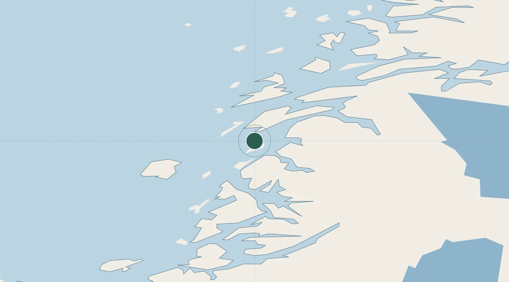
Nearby Logistics Neighbours

Cities
  1. 1Herøy20 km
  2. 2Igerøy20 km
  3. 3Botn - Sandnessjøen23 km
  4. 4Sandnessjøen24 km
  5. 5Vega27 km
Nearest neighbours — logibook spatial index (haversine) over the source coordinates
Ports
  1. 1Sandnessjoen25 km
  2. 2Mosjoen34 km
  3. 3Bronnoysund40 km
  4. 4Nesna50 km
  5. 5Berg51 km
Nearest neighbours — logibook spatial index (haversine) over the source coordinates
Airports
  1. 1Sandnessjøen Airport, Stokka16 km
  2. 2Mosjøen Airport, Kjærstad36 km
  3. 3Brønnøysund Airport, Brønnøy41 km
  4. 4Mo i Rana Airport, Røssvoll104 km
  5. 5Hemavan Airport121 km
Nearest neighbours — logibook spatial index (haversine) over the source coordinates
Trade Zones
  1. 1Turku Free Zone772 km
  2. 2Stockholm Free Zone775 km
  3. 3Freeport of Hanko849 km
  4. 4Jönköping Free Zone899 km
  5. 5Gothenburg Boundless Customs Warehouse903 km
Nearest neighbours — logibook spatial index (haversine) over the source coordinates
DatabookThe Record of Consolidated Knowledge
Norway beyond logistics?
Browse databook

All Sources

LocationsUN/LOCODE
UN/LOCODE — free
Portsthe NGA World Port Index
Public domain (US gov)
AirportsOurAirports
Public domain
Trade Zonesthe World Bank SEZ database
CC BY 4.0
Trade ZonesOpen Zone Map
CC BY
← Norway locations