Transport Functions
Port
Road
Airport
Hub Profile
Region
18
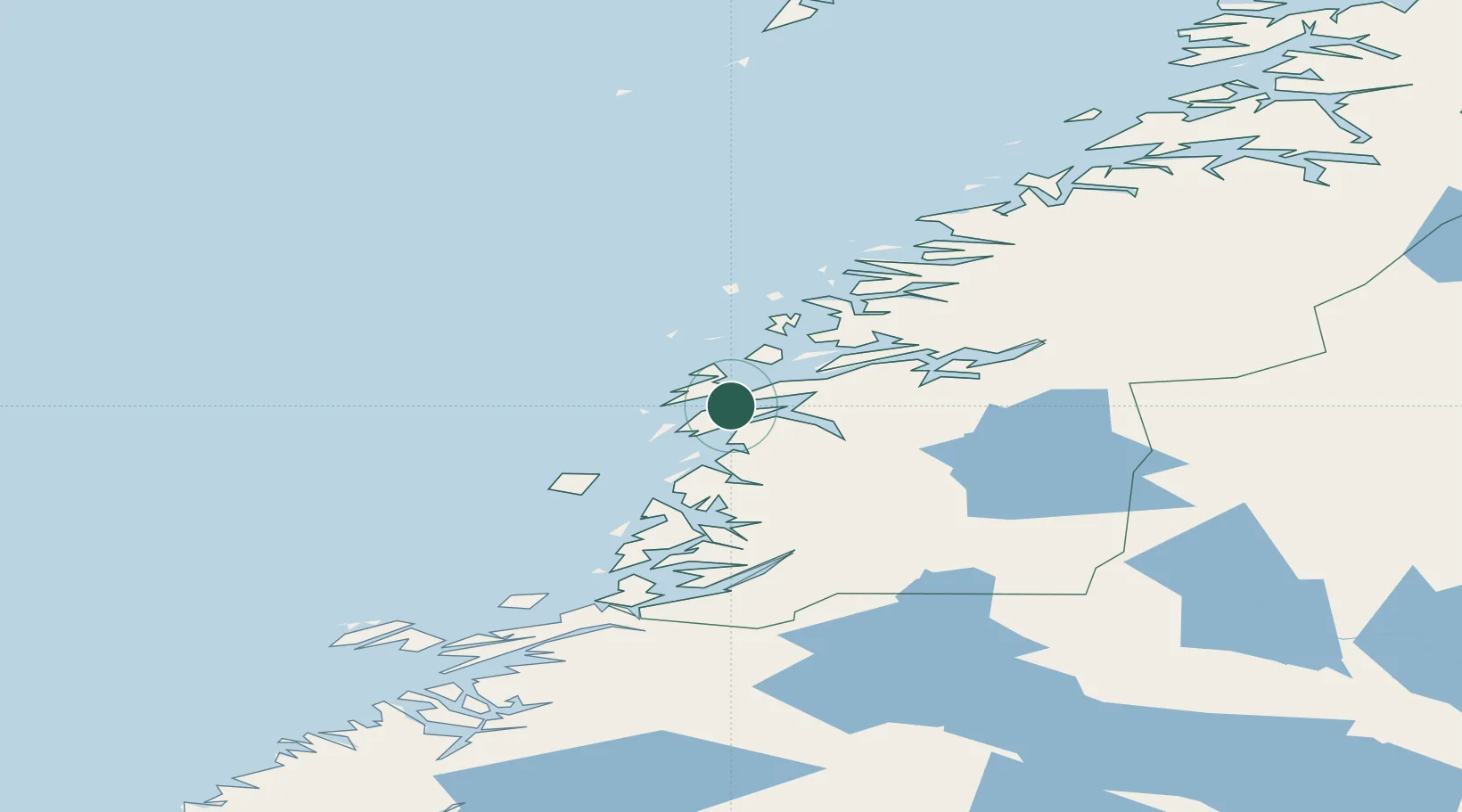
Location
Nearby Logistics Neighbours
Cities
- 1Botn - Sandnessjøen2 km
- 2Leirfjord15 km
- 3Herøy16 km
- 4Tjøtta24 km
- 5Vikholmen25 km
Ports
- 1Tjotta24 km
- 2Nesna27 km
- 3Mosjoen30 km
- 4Hemnesberget50 km
- 5Bronnoysund64 km
Airports
- 1Sandnessjøen Airport, Stokka10 km
- 2Mosjøen Airport, Kjærstad37 km
- 3Brønnøysund Airport, Brønnøy65 km
- 4Mo i Rana Airport, Røssvoll84 km
- 5Hemavan Airport114 km
Trade Zones
- 1Oulu Port Free Warehouse Area599 km
- 2Turku Free Zone782 km
- 3Stockholm Free Zone792 km
- 4Freeport of Hanko860 km
- 5Jönköping Free Zone921 km
DatabookThe Record of Consolidated Knowledge
Norway beyond logistics?