UN/LOCODE hub · Norway
NOSBT

Botn - Sandnessjøen

66.0000°, 12.6500°
1
Transport functions

Transport Functions

Port
UN/LOCODE

Hub Profile

Region
18
GeoNames

Location

Location of NOSBT
Natural Earth 10m (public domain) · 18 · NOSBT · 66.00, 12.65GoogleOSMYandex

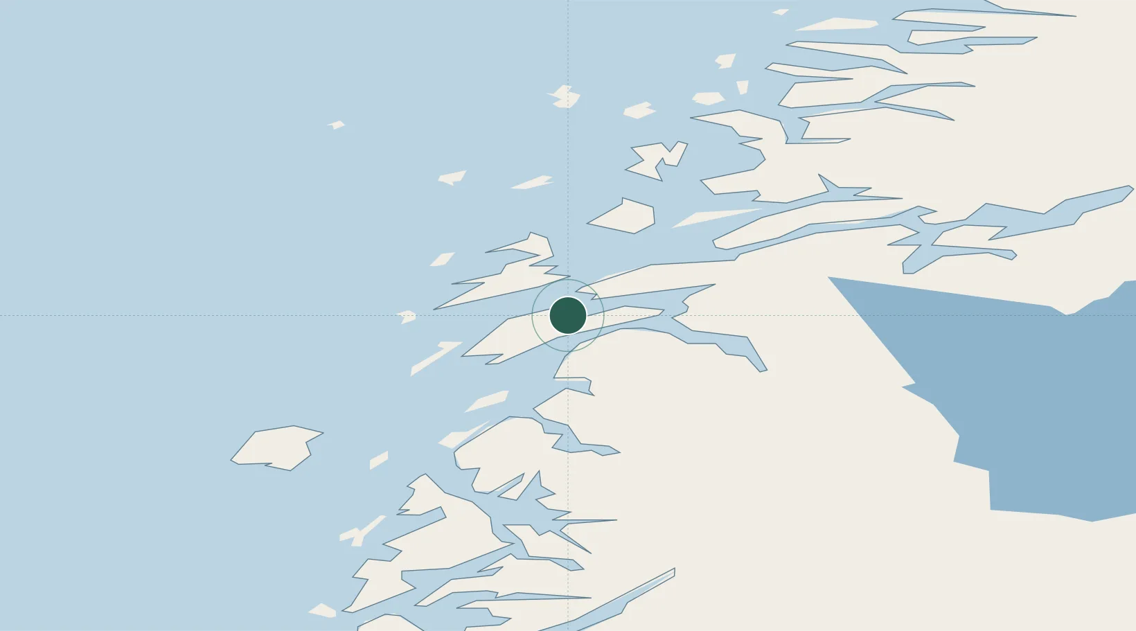
Nearby Logistics Neighbours

Cities
  1. 1Sandnessjøen2 km
  2. 2Leirfjord15 km
  3. 3Herøy16 km
  4. 4Tjøtta23 km
  5. 5Vikholmen26 km
Nearest neighbours — logibook spatial index (haversine) over the source coordinates
Ports
  1. 1Sandnessjoen3 km
  2. 2Tjotta22 km
  3. 3Nesna28 km
  4. 4Mosjoen28 km
  5. 5Hemnesberget51 km
Nearest neighbours — logibook spatial index (haversine) over the source coordinates
Airports
  1. 1Sandnessjøen Airport, Stokka10 km
  2. 2Mosjøen Airport, Kjærstad35 km
  3. 3Brønnøysund Airport, Brønnøy63 km
  4. 4Mo i Rana Airport, Røssvoll85 km
  5. 5Hemavan Airport113 km
Nearest neighbours — logibook spatial index (haversine) over the source coordinates
Trade Zones
  1. 1Oulu Port Free Warehouse Area598 km
  2. 2Turku Free Zone780 km
  3. 3Stockholm Free Zone790 km
  4. 4Freeport of Hanko858 km
  5. 5Jönköping Free Zone919 km
Nearest neighbours — logibook spatial index (haversine) over the source coordinates
DatabookThe Record of Consolidated Knowledge
Norway beyond logistics?
Browse databook

All Sources

LocationsUN/LOCODE
UN/LOCODE — free
Portsthe NGA World Port Index
Public domain (US gov)
AirportsOurAirports
Public domain
Trade Zonesthe World Bank SEZ database
CC BY 4.0
Trade ZonesOpen Zone Map
CC BY
← Norway locations