Channel & Berth Profile
Pilotage, Tugs & Services
Pilotage availableYES
Tug assistanceNO
Salvage tugsNO
Potable waterYES
Diesel bunkersYES
MedicalYES
Facilities & Capabilities
ContainerYES
Ro-RoYES
Liquid bulkNO
Dry bulkYES
Oil terminal—
Break bulkYES
Dry dock—
RepairsNO
Bunkering—
Rail link—
Dangerous cargo—
ISPS security—
Harbour Specifications
Harbour size
Very Small
Harbour type
Coastal (Natural)
Shelter
Fair
Water body
Norwegian Sea; North Atlantic Ocean
Overhead limit
Yes
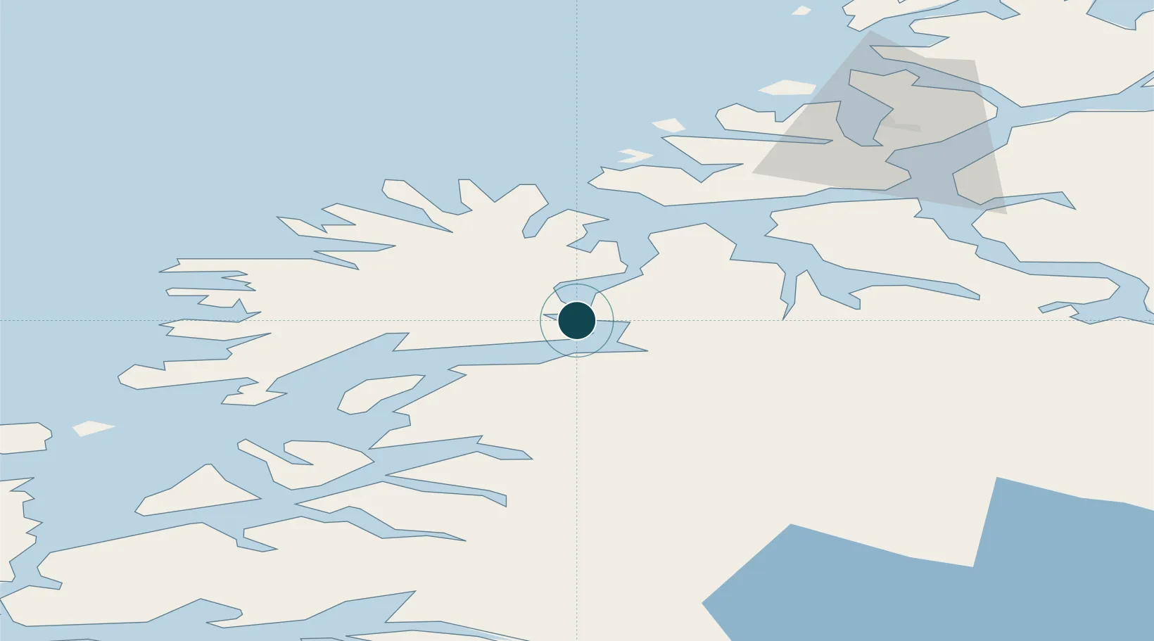
Location
Nearby Logistics Neighbours
Cities
- 1Finnfjordbotn5 km
- 2Sørreisa13 km
- 3Espenesbogen16 km
- 4Kårvikhamn20 km
- 5Lenvik23 km
Airports
- 1Bardufoss Airport30 km
- 2Tromsø Airport62 km
- 3Andøya Airport, Andenes72 km
- 4Harstad/Narvik Airport97 km
- 5Sørkjosen Airport132 km
Trade Zones
- 1Oulu Port Free Warehouse Area570 km
- 2Turku Free Zone997 km
- 3Free Zone of Lappeenranta1024 km
- 4Port of Hamina-Kotka1060 km
- 5Freeport of Hanko1071 km
DatabookThe Record of Consolidated Knowledge
Norway beyond logistics?