Channel & Berth Profile
Pilotage, Tugs & Services
Pilotage compulsoryYES
Pilotage availableYES
Pilotage advisableYES
Tug assistanceYES
Salvage tugsYES
Potable waterYES
Diesel bunkersYES
MedicalYES
Garbage disposalYES
Facilities & Capabilities
ContainerYES
Ro-RoYES
Liquid bulkYES
Dry bulkYES
Oil terminal—
Break bulkYES
Dry dock—
RepairsNO
BunkeringYES
Rail link—
Dangerous cargo—
ISPS security—
Harbour Specifications
Harbour size
Medium
Harbour type
Open Roadstead
Shelter
Good
Water body
Norwegian Sea; North Atlantic Ocean
Tidal range
2 m
Overhead limit
Yes
Pilotage
Yes
Liner Connectivity
13.8
PLSCI
Port Liner Shipping Connectivity Index for Tromso, as published by UNCTAD for the latest available quarter. Higher values indicate stronger scheduled liner-shipping integration.
Shown relative to the highest per-port PLSCI in the dataset (1,657.9).
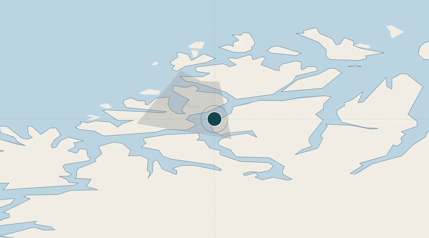
Location
Nearby Logistics Neighbours
Cities
- 1Tromsdalen2 km
- 2Kaldfjord10 km
- 3Bellvika17 km
- 4Vengsøy25 km
- 5Tromvik26 km
Airports
- 1Tromsø Airport4 km
- 2Bardufoss Airport68 km
- 3Sørkjosen Airport78 km
- 4Andøya Airport, Andenes117 km
- 5Hasvik Airport152 km
Trade Zones
- 1Oulu Port Free Warehouse Area586 km
- 2Turku Free Zone1035 km
- 3Free Zone of Lappeenranta1044 km
- 4Port of Hamina-Kotka1085 km
- 5Freeport of Hanko1107 km
DatabookThe Record of Consolidated Knowledge
Norway beyond logistics?