Transport Functions
Port
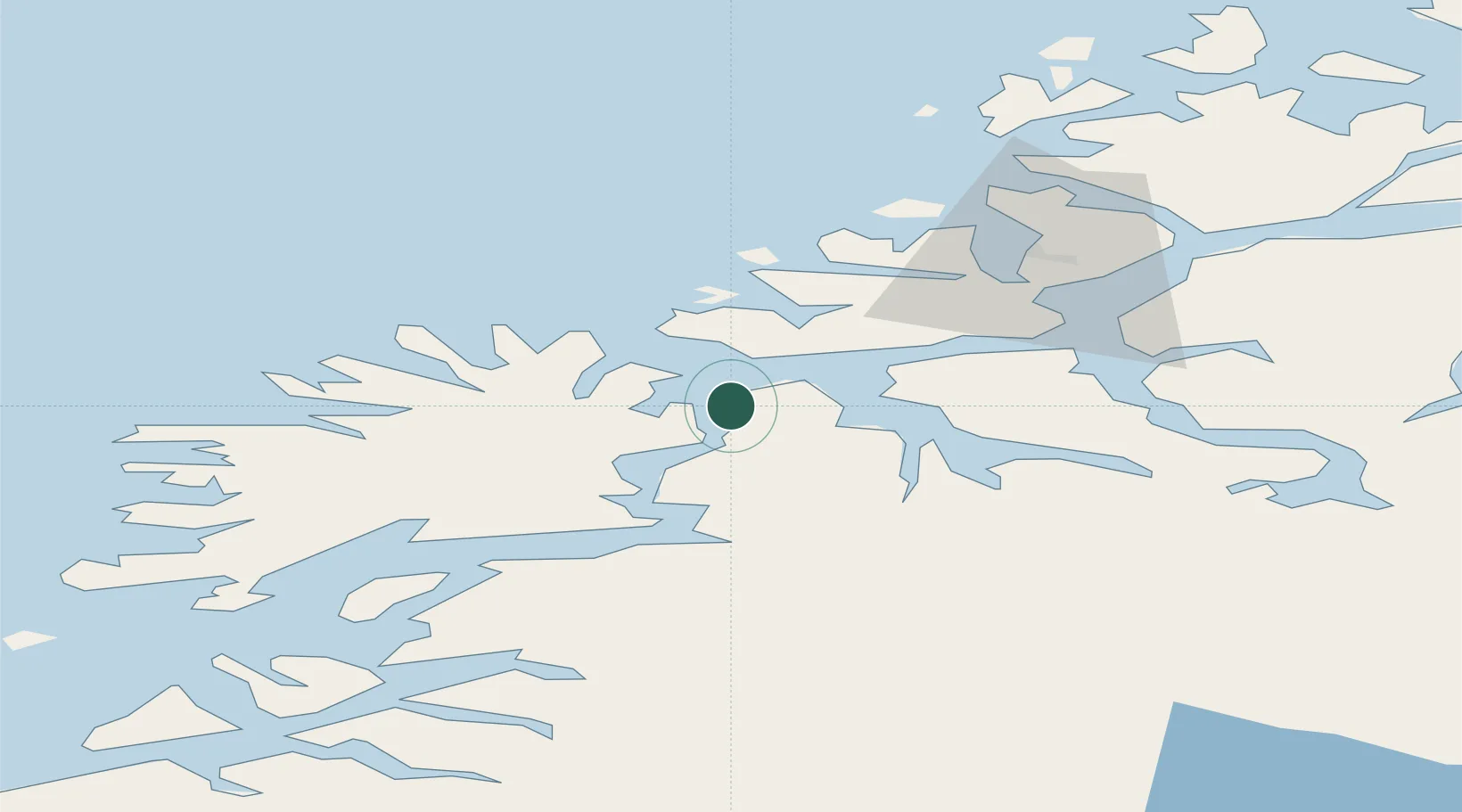
Hub Profile
Place type
Populated place
Region
Troms
Population
11,679
Time zone
Europe/Oslo
Elevation
75 m
Location
Nearby Logistics Neighbours
Cities
- 1Kårvikhamn4 km
- 2Botnhamn13 km
- 3Brensholmen19 km
- 4Husøy - Lenvik22 km
- 5Finnfjordbotn24 km
Airports
- 1Tromsø Airport41 km
- 2Bardufoss Airport45 km
- 3Andøya Airport, Andenes80 km
- 4Sørkjosen Airport116 km
- 5Harstad/Narvik Airport120 km
Trade Zones
- 1Oulu Port Free Warehouse Area583 km
- 2Turku Free Zone1017 km
- 3Free Zone of Lappeenranta1039 km
- 4Port of Hamina-Kotka1077 km
- 5Freeport of Hanko1091 km
DatabookThe Record of Consolidated Knowledge
Norway beyond logistics?