Transport Functions
Port
Road
Hub Profile
Region
19
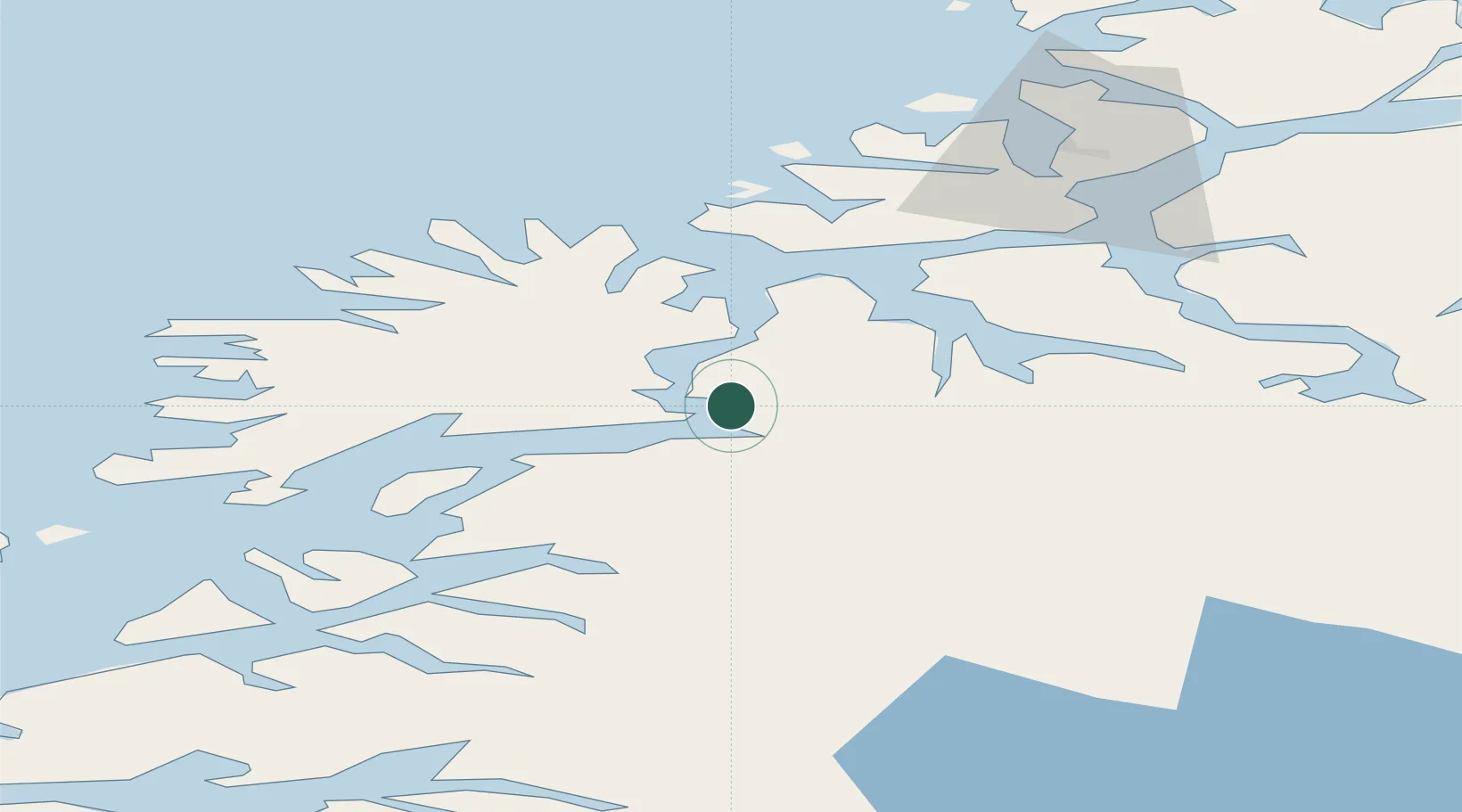
Location
Nearby Logistics Neighbours
Cities
- 1Finnsnes5 km
- 2Sørreisa9 km
- 3Espenesbogen17 km
- 4Kårvikhamn21 km
- 5Lenvik24 km
Airports
- 1Bardufoss Airport25 km
- 2Tromsø Airport61 km
- 3Andøya Airport, Andenes77 km
- 4Harstad/Narvik Airport98 km
- 5Sørkjosen Airport129 km
Trade Zones
- 1Oulu Port Free Warehouse Area566 km
- 2Turku Free Zone994 km
- 3Free Zone of Lappeenranta1020 km
- 4Port of Hamina-Kotka1056 km
- 5Freeport of Hanko1068 km
DatabookThe Record of Consolidated Knowledge
Norway beyond logistics?