Channel & Berth Profile
Pilotage, Tugs & Services
Pilotage availableYES
Tug assistanceNO
Salvage tugsNO
Diesel bunkersYES
MedicalYES
Facilities & Capabilities
Container—
Ro-Ro—
Liquid bulk—
Dry bulk—
Oil terminal—
Break bulk—
Dry dock—
RepairsNO
Bunkering—
Rail link—
Dangerous cargo—
ISPS security—
Harbour Specifications
Harbour size
Very Small
Harbour type
Coastal (Natural)
Shelter
Fair
Water body
Norwegian Sea; North Atlantic Ocean
Tidal range
1 m
Overhead limit
No
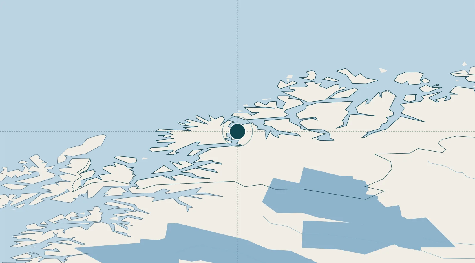
Location
Nearby Logistics Neighbours
Cities
- 1Kårvikhamn6 km
- 2Lenvik9 km
- 3Finnfjordbotn16 km
- 4Finnsnes16 km
- 5Botnhamn19 km
Airports
- 1Bardufoss Airport38 km
- 2Tromsø Airport49 km
- 3Andøya Airport, Andenes77 km
- 4Harstad/Narvik Airport111 km
- 5Sørkjosen Airport122 km
Trade Zones
- 1Oulu Port Free Warehouse Area578 km
- 2Turku Free Zone1009 km
- 3Free Zone of Lappeenranta1033 km
- 4Port of Hamina-Kotka1070 km
- 5Freeport of Hanko1083 km
DatabookThe Record of Consolidated Knowledge
Norway beyond logistics?