Channel & Berth Profile
Facilities & Capabilities
Container—
Ro-Ro—
Liquid bulk—
Dry bulk—
Oil terminal—
Break bulk—
Dry dock—
Repairs—
Bunkering—
Rail link—
Dangerous cargo—
ISPS security—
Harbour Specifications
Water body
Norwegian Sea; North Atlantic Ocean
Overhead limit
Yes
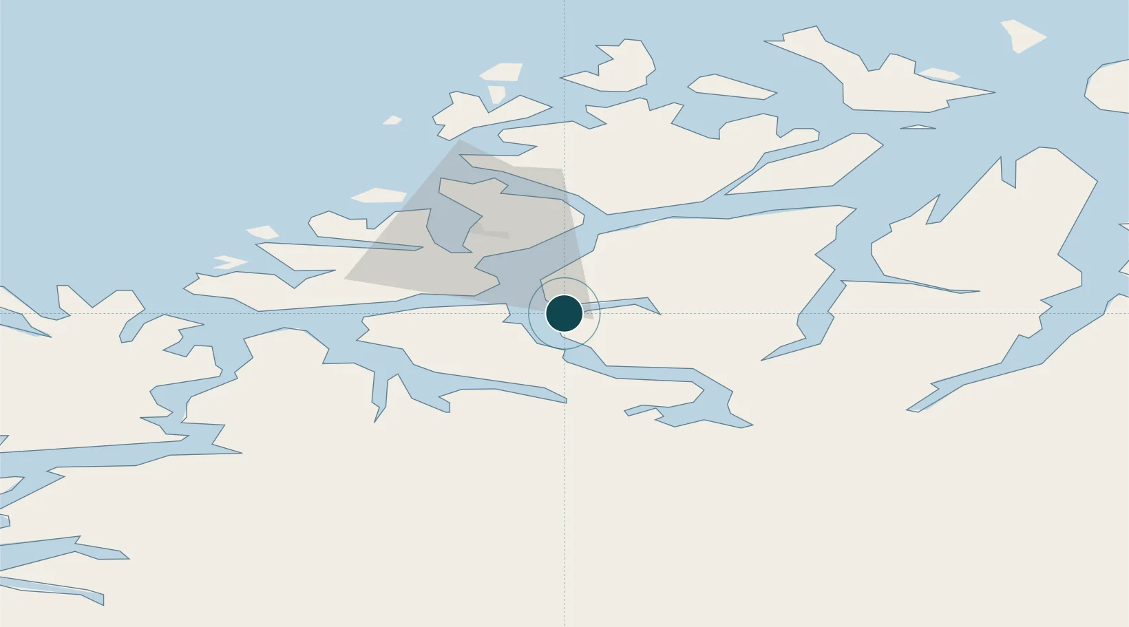
Location
Nearby Logistics Neighbours
Cities
- 1Tromsdalen14 km
- 2Tromsø16 km
- 3Kaldfjord21 km
- 4Bellvika30 km
- 5Jøvik33 km
Airports
- 1Tromsø Airport18 km
- 2Bardufoss Airport55 km
- 3Sørkjosen Airport81 km
- 4Andøya Airport, Andenes115 km
- 5Harstad/Narvik Airport148 km
Trade Zones
- 1Oulu Port Free Warehouse Area573 km
- 2Turku Free Zone1021 km
- 3Free Zone of Lappeenranta1032 km
- 4Port of Hamina-Kotka1072 km
- 5Freeport of Hanko1093 km
DatabookThe Record of Consolidated Knowledge
Norway beyond logistics?